Vera sits in the east of the province of Almería, close to the border with Murcia. It is a good base for a group of riders: a flat coast with beaches and golf, a low mountain range behind it, and a wide choice of roads in every direction, from short coastal days to long loops through the Cabo de Gata natural park.
Sun when the rest of Europe is cold
Almería is one of the sunniest provinces in Europe, with around 300 sunny days a year, and the east is no exception. The best months for riding here run from September to June. Mid-summer is hot, and we recommend leaving it for the beach.
What the landscape looks like
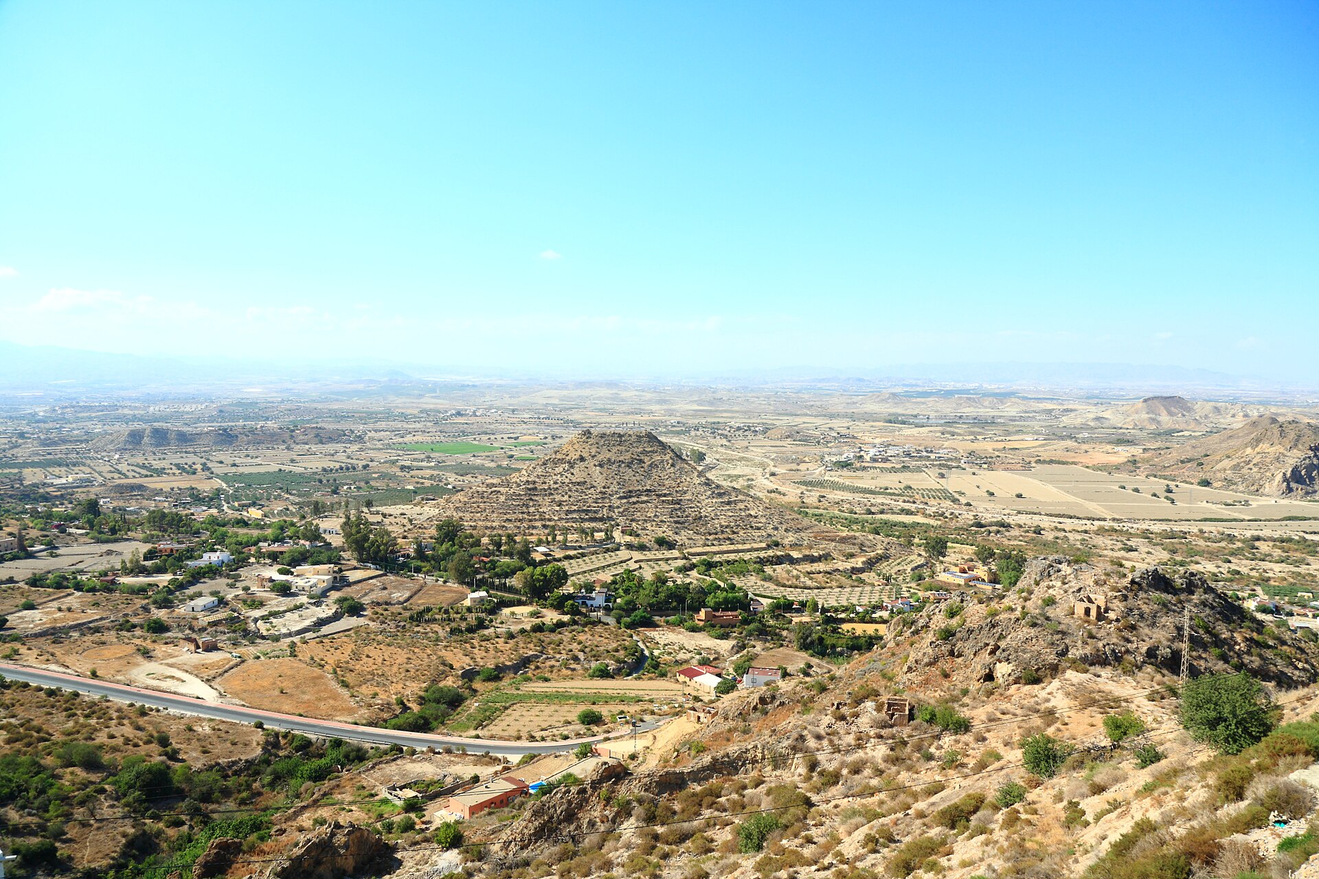
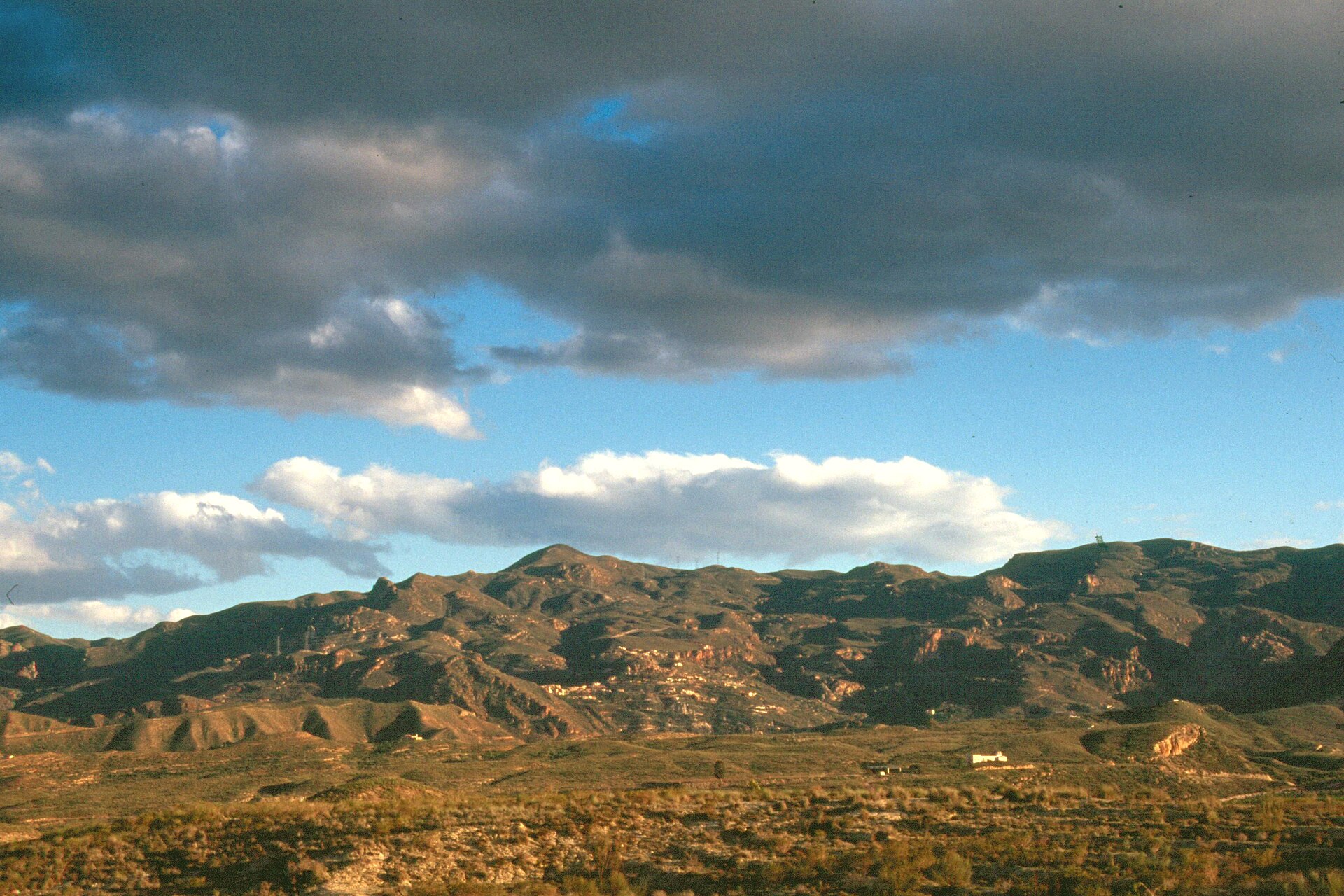
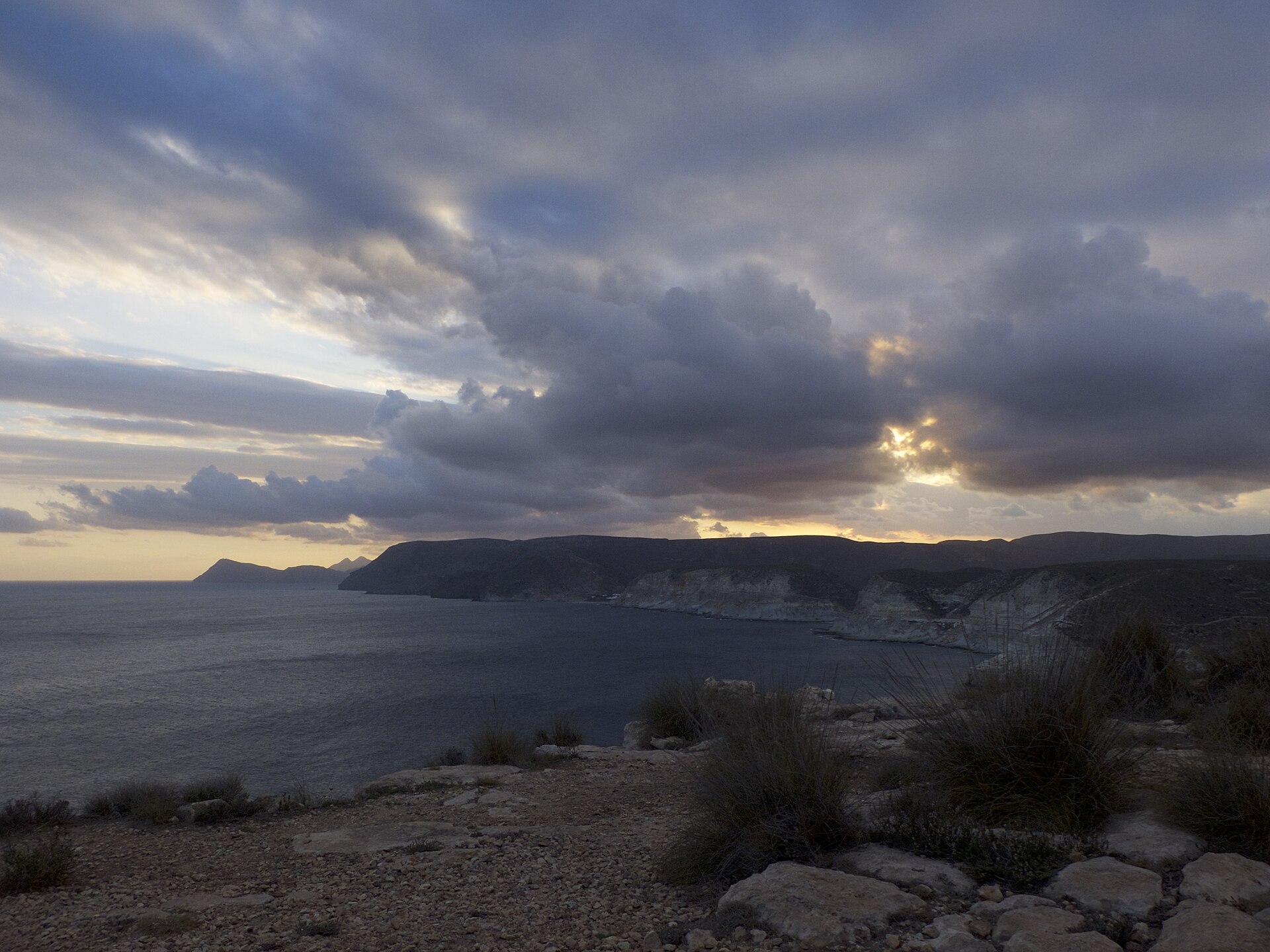
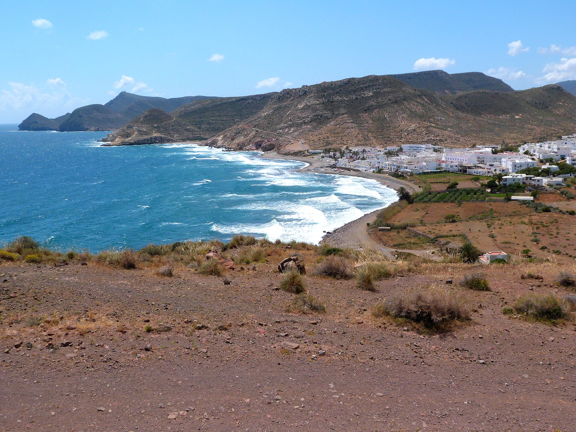
The coast around Vera is open and dry, with beaches, golf courses and urbanisations. Inland, the land rises into the Sierra Cabrera, a low and arid mountain range that separates the coast from the villages of the interior. Mojácar, Turre and Bédar sit on its slopes and at its foot. To the south, beyond Carboneras, the road enters the Cabo de Gata-Níjar natural park, with its dry hills, small coves and white villages such as Agua Amarga, Las Negras and the Isleta del Moro. To the north-west, around Lubrín and Sorbas, the country opens up into pale hills, gypsum rock and long empty roads.
The riding
- Coastal roads. Flat or gently rolling, close to the sea. Good for an easy day, a recovery ride or a first outing after the flight.
- The Sierra Cabrera. Rolling climbs that reach between 600 and 830 m on our loops, with quiet roads and views over the sea. They give you real climbing without a long mountain pass.
- Cabo de Gata. Our three coastal loops go to Carboneras and Agua Amarga, and the hardest one goes on to Las Negras and the Isleta del Moro. Lower than the other loops, but long.
- Long days inland. Our hard loops go through Sorbas, Lubrín, Uleila del Campo and Albánchez, and one of them reaches about 1,080 m.
The climbs at a glance
All of them are part of our loops from Vera, or close to them:
| Climb | Distance | Climbing | Gradient |
|---|---|---|---|
| Collado Cufría from Turre | 12.4 km | 820 m | 6.6% |
| Collado Cufría by El Cortijo Grande | 12.4 km | 791 m | 6.4% |
| Puerto de la Virgen from Albánchez | 11.6 km | 585 m | 5.0% |
| Puerto de la Virgen from Uleila | 10.4 km | 473 m | 4.6% |
| Alto de Los Gallardos | 12.0 km | 535 m | 4.5% |
| Alto de Lubrín | 3.8 km | 238 m | 6.3% |
Figures come from our own tracks and may differ a little from other sources.
A simple way to plan it
Each level has three loops. All of them start and finish in Vera. Open the level to see them with their elevation profiles. These are proposals: any outing can be tailored to your level. Figures come from our own tracks and may differ a little from other sources.
Beyond the bike
After a few hours on the road, the beach is close, and so are the white village of Mojácar, the old town of Sorbas on its cliff, and the coves of Cabo de Gata. Vera is easy to enjoy even on rest days.
In Pulpí, west of Vera, you can visit the Geoda de Pulpí, a giant geode found in 1999 in the Mina Rica, lined with huge crystals of gypsum. The visits are guided and in small groups, and the geode itself is protected, so you look at it from the opening. Places are limited: book in advance and check the rules and the price on the official website (geodapulpi.es).
Getting here and getting around
The nearest airport is Almería, about 80 km and an hour by road from Vera. Murcia airport (Corvera) is about 107 km away. A car or a van is the easiest way to arrive with luggage and bike boxes: see travel from the airport. We can recommend where to stay in Vera, with houses and apartments for groups of four to twelve.
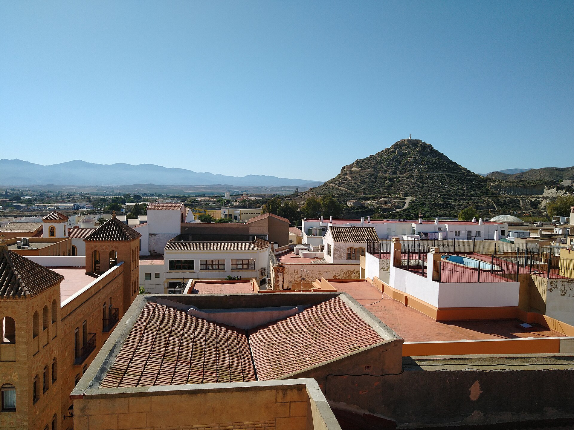
Photos via Wikimedia Commons: Mojácar viewpoint, Javier Perez Montes (CC BY-SA 4.0); Sierra Cabrera, Cillas (CC BY-SA 4.0); between Carboneras and Agua Amarga, Audalix (CC BY-SA 4.0); Agua Amarga, ziegler175 (public domain); Vera, Ismael Olea (CC BY 4.0).