Hard in Vera means long days, between 121 and 147 km, with 1,980 to 2,410 metres of climbing. These are full days of six to eight hours, for riders who are fit and want to see a lot of the Levante in one day.
The three loops at a glance
| Loop | Distance | Climbing | Highest point |
|---|---|---|---|
| Hard 01 | 121 km | 2,404 m | about 820 m |
| Hard 02 | 139 km | 2,412 m | about 1,080 m |
| Hard 03 | 147 km | 1,981 m | about 270 m |
All three start and finish in Vera.
Hard 01: Turre, the Sierra Cabrera, Sorbas and Lubrín
The most mountainous of the three. It goes through Mojácar (km 12) and Turre (km 17), and climbs the Sierra Cabrera (highest point about 820 m, at around km 30). The loop includes the climb of the Collado Cufría from Turre and the short Alto de Lubrín. It then goes on to Sorbas (km 67), the farthest point of the loop, and returns through Lubrín (km 84) and Bédar (km 95).
Sorbas is an old village built on the edge of a cliff of gypsum rock, over the river. The area is known for its caves in gypsum, and for its pale, empty country.
Hard 02: Mojácar, Bédar, Uleila, Albánchez and Antas
The one that climbs highest. It goes through Mojácar (km 12) and Bédar (km 29), passes Lubrín (km 42) and goes inland to Uleila del Campo (km 58) and keeps climbing to its highest point, about 1,080 m, at around km 70. The loop climbs both sides of the Puerto de la Virgen, from Uleila and from Albánchez, and also the Alto de Lubrín. The farthest village is Cóbdar (km 77), and the way back passes Albánchez (km 82) and Antas before returning to Vera.
Hard 03: Carboneras, Agua Amarga, Isleta del Moro and Las Negras
The coastal one. It goes through Carboneras (km 30) and Agua Amarga (km 38), crosses the Cabo de Gata-Níjar natural park to the Isleta del Moro (km 68) and Las Negras (km 79), and comes back by Carboneras. The highest point is only about 270 m, but it is the longest of all the Vera loops, 147 km, and the roads roll all day.
Bring food and water for the whole day: the villages of Cabo de Gata are small, and the distance between them is long.
See also
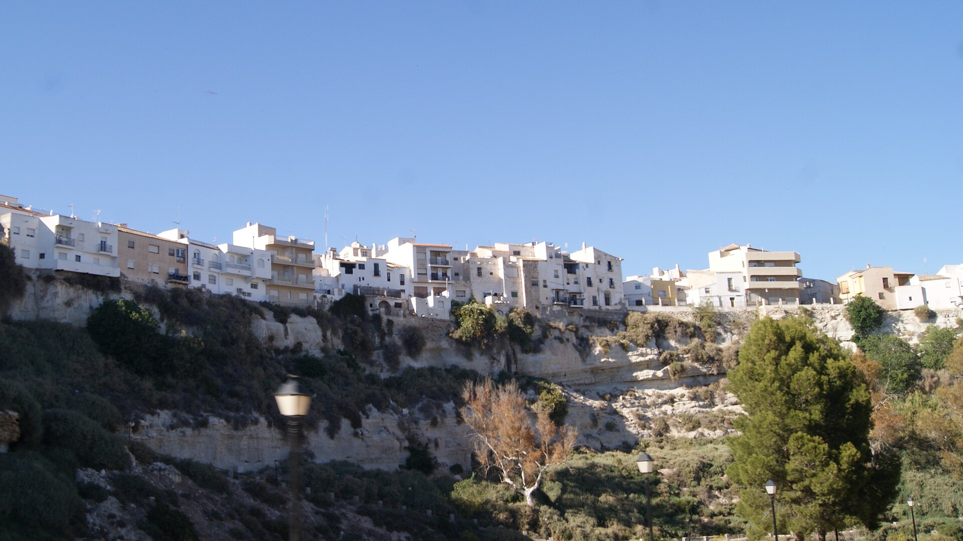
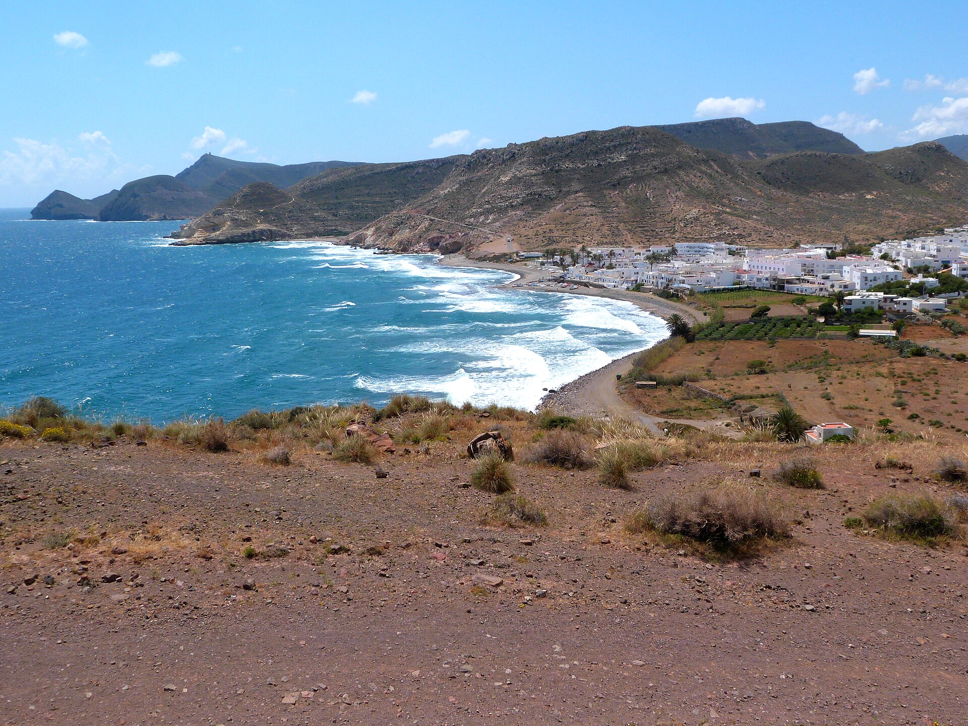
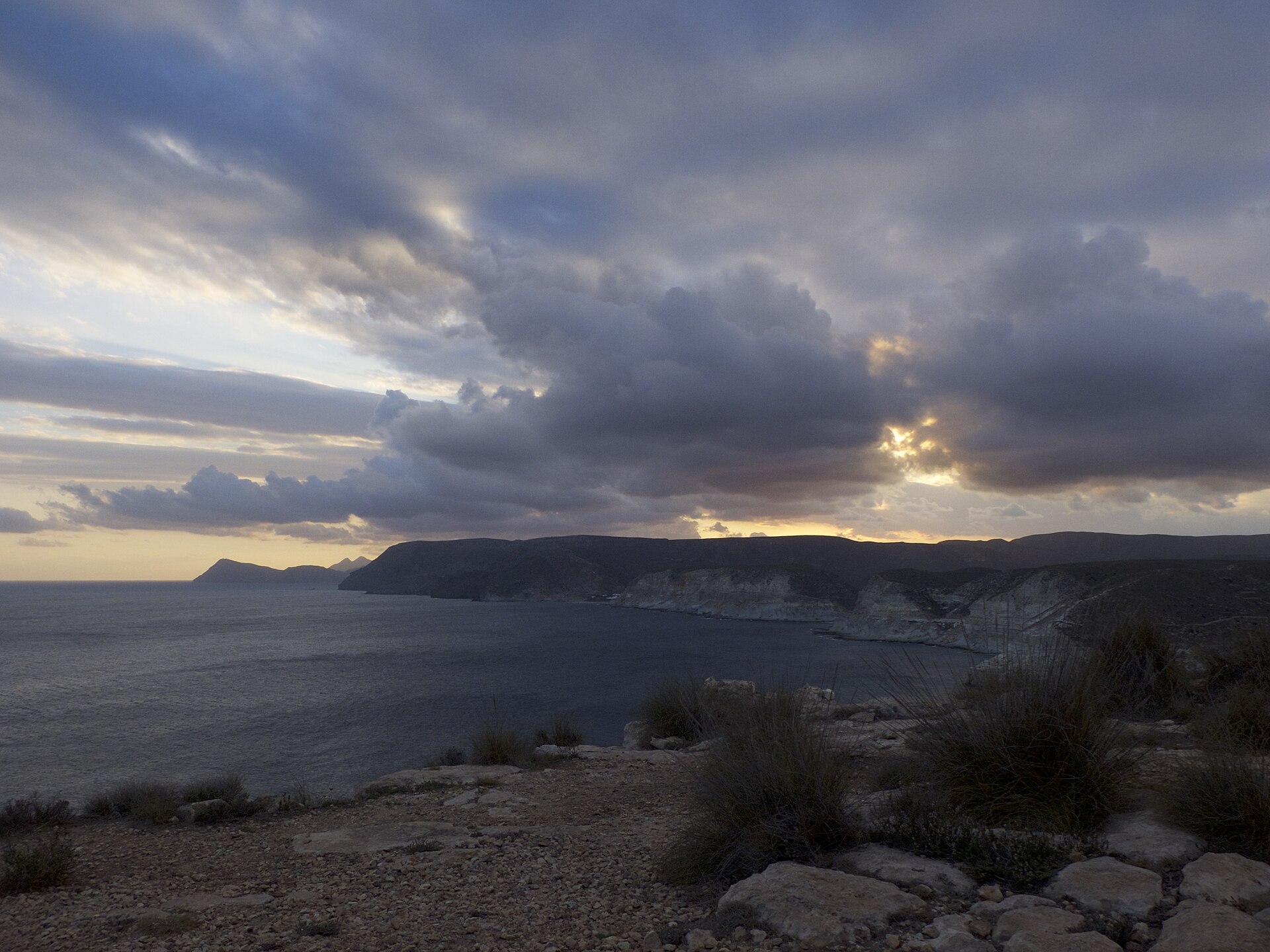
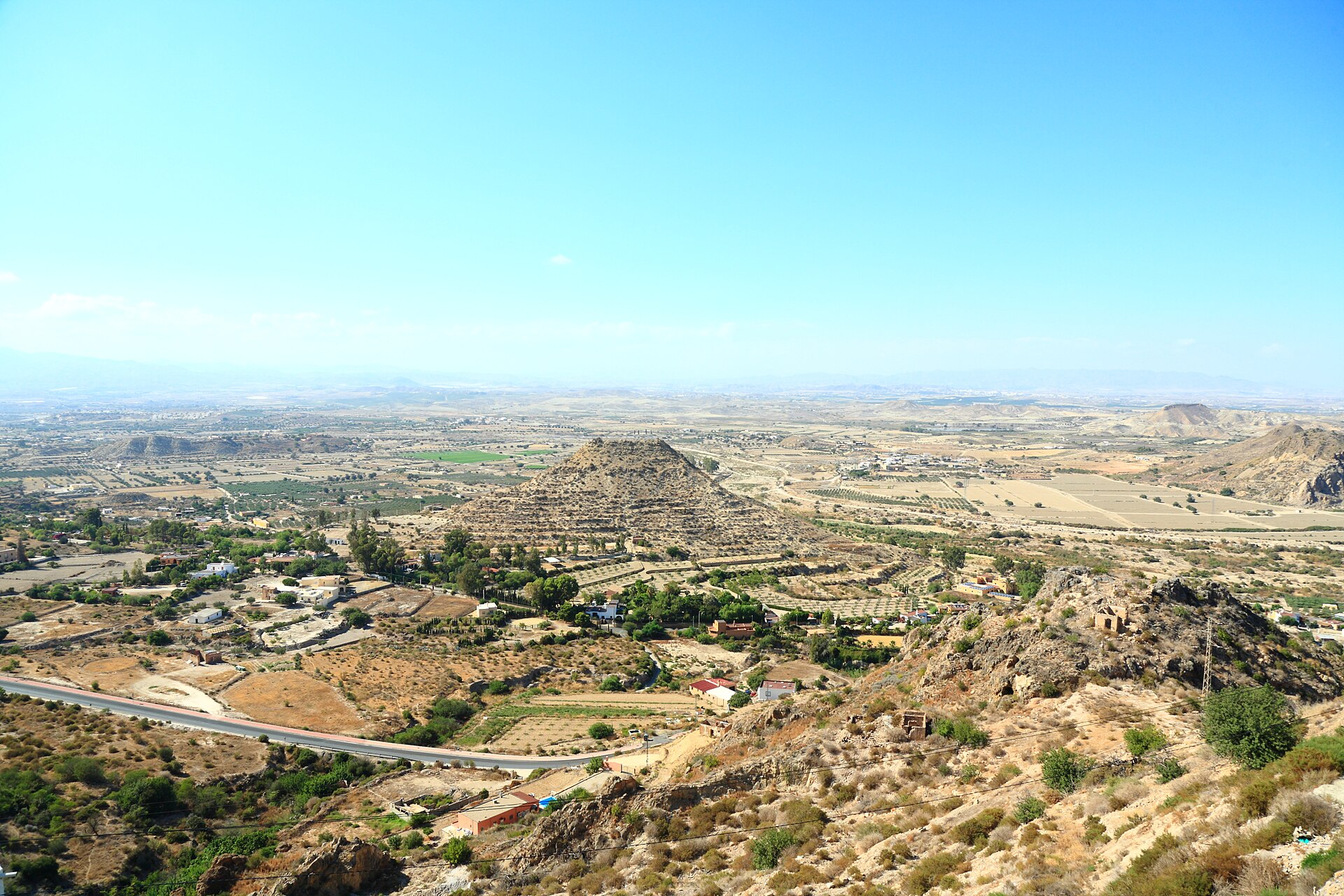
Photos via Wikimedia Commons: Sorbas, Schumi4ever (CC BY-SA 3.0); Agua Amarga, ziegler175 (public domain); between Carboneras and Agua Amarga, Audalix (CC BY-SA 4.0); Mojácar viewpoint, Javier Perez Montes (CC BY-SA 4.0); Sierra Cabrera, Cillas (CC BY-SA 4.0).