Berja is a good base if you like climbing and don't like crowds. From this town in the Alpujarra of Almería you can reach, within a single week, friendly climbs in the Sierra de Gádor, the villages of the Alpujarra, and one of the great passes of southern Spain: the Puerto de la Ragua, at 2,000 metres.
We have nine loops from Berja, in three levels, from a 46 km easy day to a 127 km ride over La Ragua. All of them start and finish in the town.
A mountain base with the sea in sight
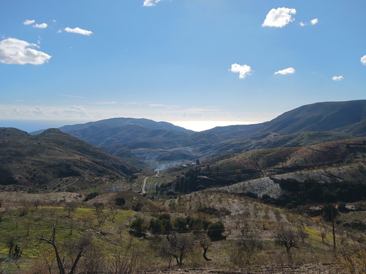
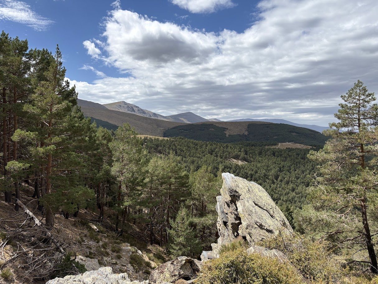
The Sierra de Gádor rises behind Berja and Dalías. Its slopes are dry and open, with almond trees, scrub and, higher up, pine forest. On a clear day the sea is visible from the top of many climbs, which gives these roads a character you rarely find in the mountains: altitude and Mediterranean at the same time.
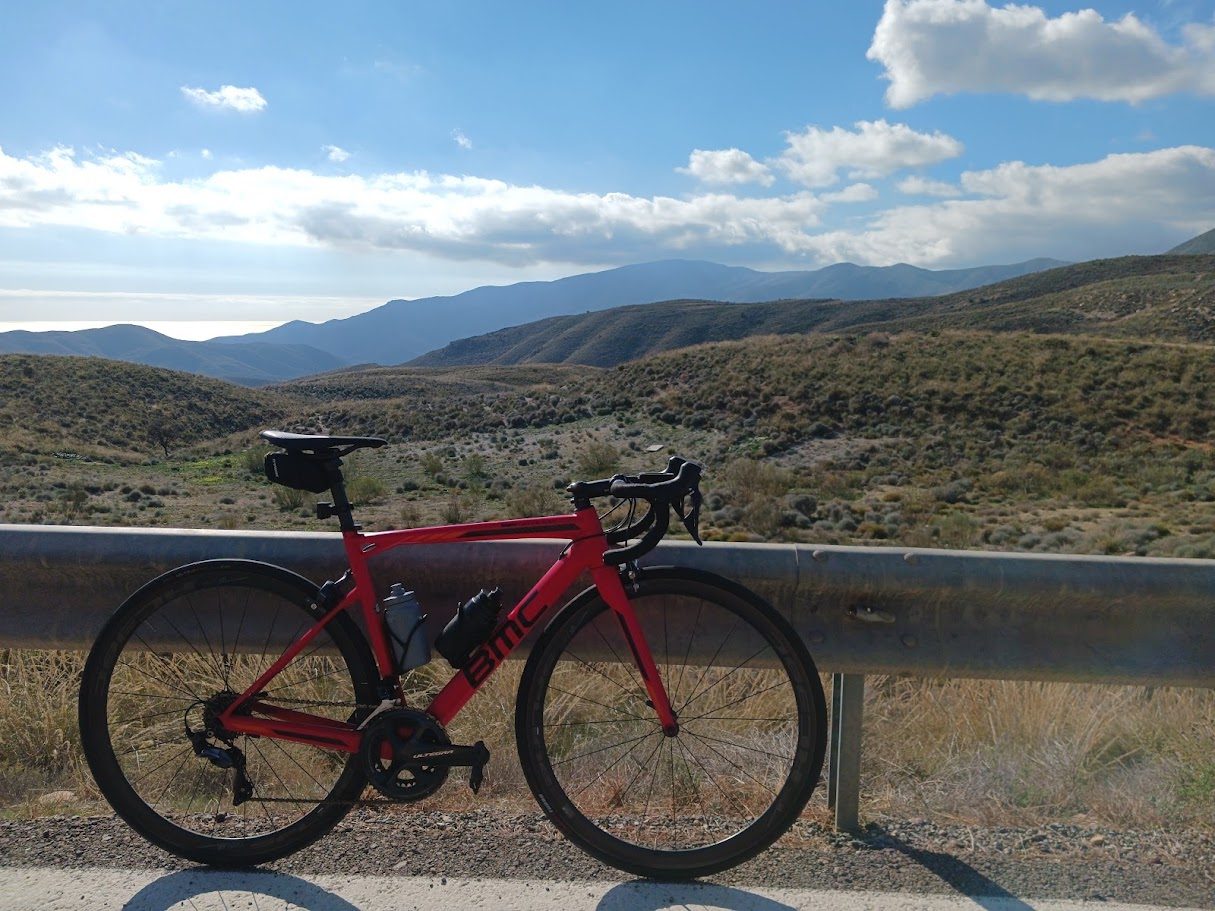
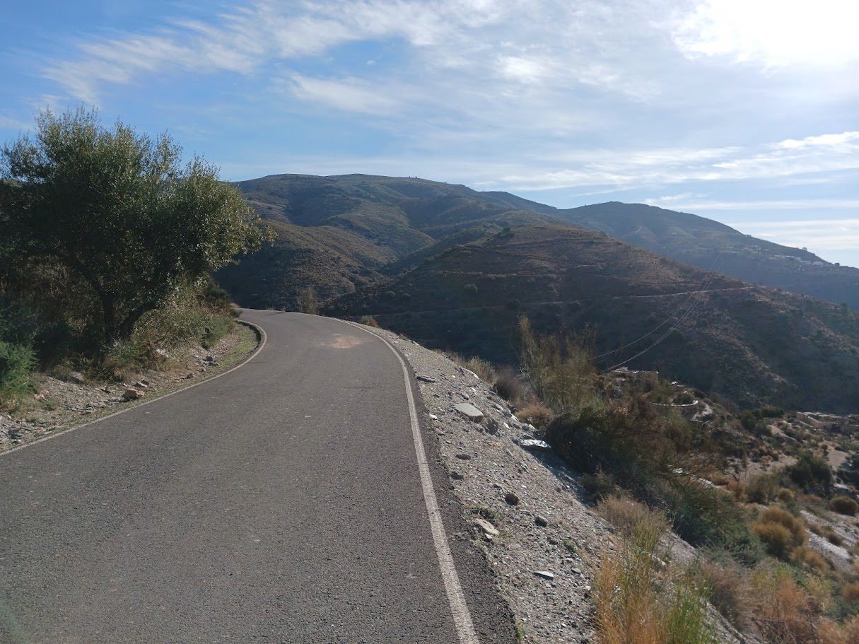
The roads are quiet. You will ride for long stretches without meeting more than a handful of cars.
More than La Ragua: the climbs around Berja
La Ragua is the highest climb and the biggest day, but it is not the only reason to ride from Berja. Around the town there are many other climbs, shorter, beautiful and very enjoyable. They are not about suffering, but about riding through the sierra with the sea in sight:
- Puerto de Castala is the most demanding of the Berja climbs, with a sustained gradient above 6%.
- Alto de Hirmes is a steady, cruising climb, and Subida Caseta Cintas a short one that is part of many of our loops.
- Puerto de Berja is the long one, a regular road that goes above 1,200 m.
- Puerto de Santillana climbs from Canjáyar, in the Andarax valley.
- Towards the coast, over passes such as La Parra and El Trebolar, and the very steep El Calvario. A single outing can include the Mediterranean and the mountain.
La Ragua: the high road
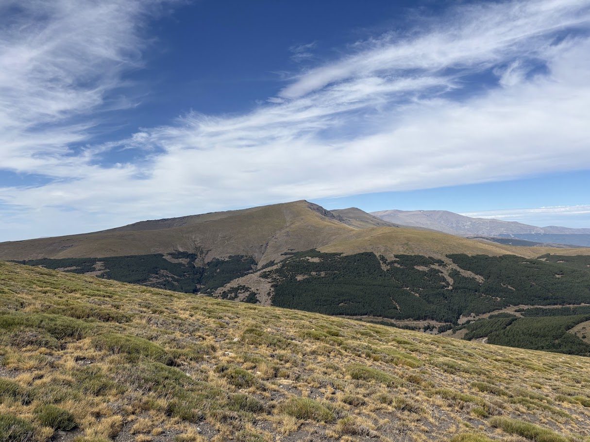
The Puerto de la Ragua is the big day of the area. A long, steady climb through changing scenery takes you from the warm foothills up into pine forest, until you reach a pass marked at 2,000 m on the road sign (the official data gives 2,040 m). Up there the air is thinner and cooler, and the view over the Sierra Nevada is worth the effort.
Our full guide to the climb is here: Puerto de la Ragua by bike. On the loop we propose, Hard 03, you climb the Cherín side, which on our own track measures 24.4 km with 1,521 m of climbing at 6.2% on average.
Remember that this is a real mountain pass. Snow and cold can close or complicate the road in winter, and the weather can be very different from the one at the coast. Check the conditions before you set out, and carry an extra layer even on a sunny day.
The climbs at a glance
| Climb | Distance | Climbing | Gradient |
|---|---|---|---|
| Puerto de la Ragua from Cherín | 24.4 km | 1,521 m | 6.2% |
| Puerto de Berja | 18.4 km | 827 m | 4.5% |
| Puerto de Santillana from Canjáyar | 18.1 km | 883 m | 4.9% |
| Puerto de la Parra | 9.0 km | 580 m | 6.5% |
| Puerto del Trebolar | 7.9 km | 464 m | 5.9% |
| Puerto de Castala | 6.6 km | 419 m | 6.3% |
| Alto de Hirmes | 6.3 km | 297 m | 4.7% |
| Subida Caseta Cintas | 4.4 km | 236 m | 5.3% |
| El Calvario | 3.8 km | 462 m | 12.2% |
Figures come from our own tracks and may differ a little from other sources.
When to come
The best months are February to June and September to November. In spring the slopes are green and the temperatures are ideal. In autumn the light is soft and the roads are even quieter. In winter, check the snow on La Ragua before you go.
A simple way to plan it
| Level | Distance | Climbing |
|---|---|---|
| Easy | 46–65 km | ~940–1,330 m |
| Medium | 87–93 km | ~1,500–2,100 m |
| Hard | 114–127 km | ~2,700–2,950 m |
Each level has three loops from Berja, with their elevation profiles. These are proposals: any outing can be tailored to your level.
- Easy: the foothills of the Sierra de Gádor, the Benínar reservoir and Río Chico. Two climbs per loop.
- Medium: the coast at Adra and the Alpujarra villages of Turón and Murtas.
- Hard: the full mountain days, with Murtas and the Alpujarra, and the Puerto de la Ragua on the longest.
Beyond the bike
Berja and the villages around it are good for walking, tapas and slow evenings. The Alpujarra is also one of the most characteristic areas of the province, with whitewashed villages and terraced hillsides. Our loops pass close to Alcolea and Laujar de Andarax, in the Alpujarra of Almería, and to Turón, Murtas and Ugíjar, just over the border in the Alpujarra of Granada.