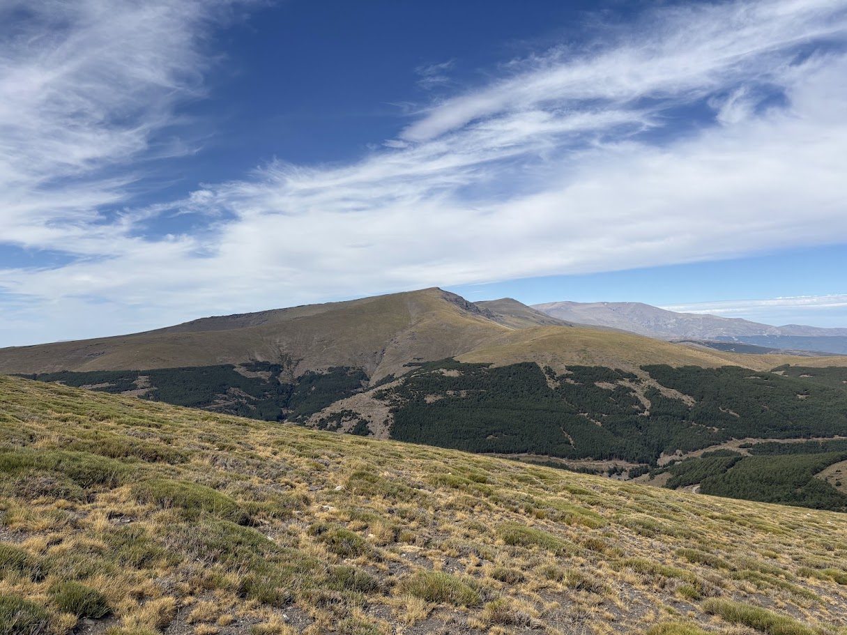
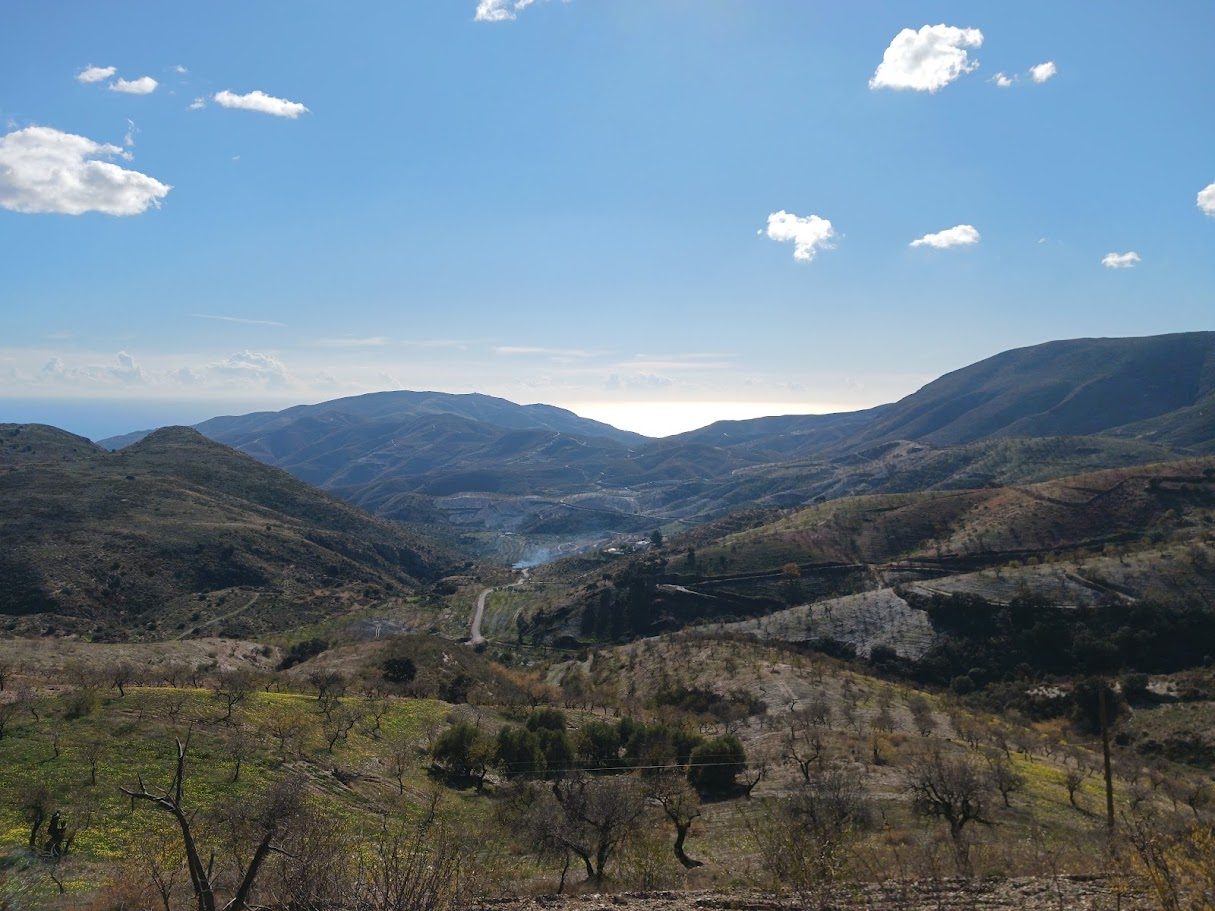
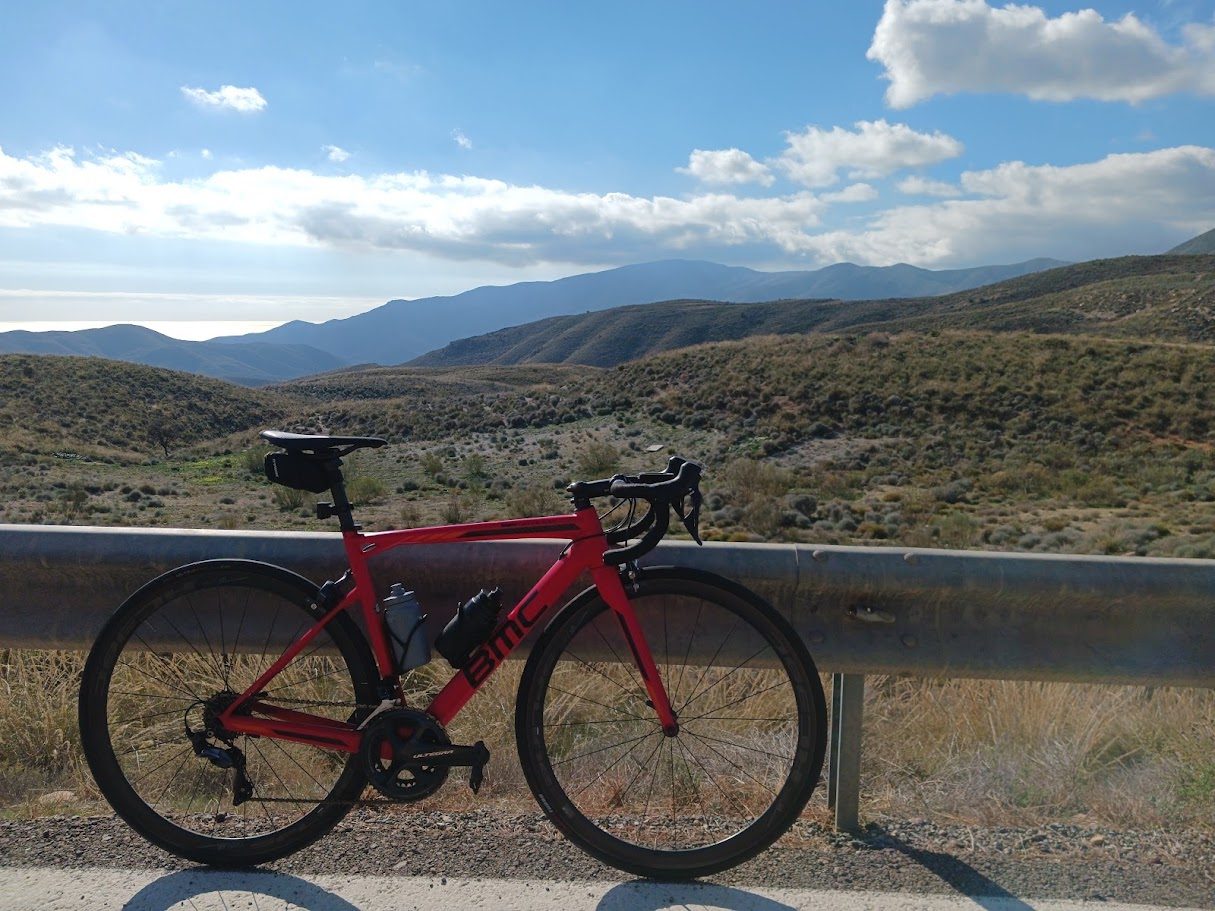
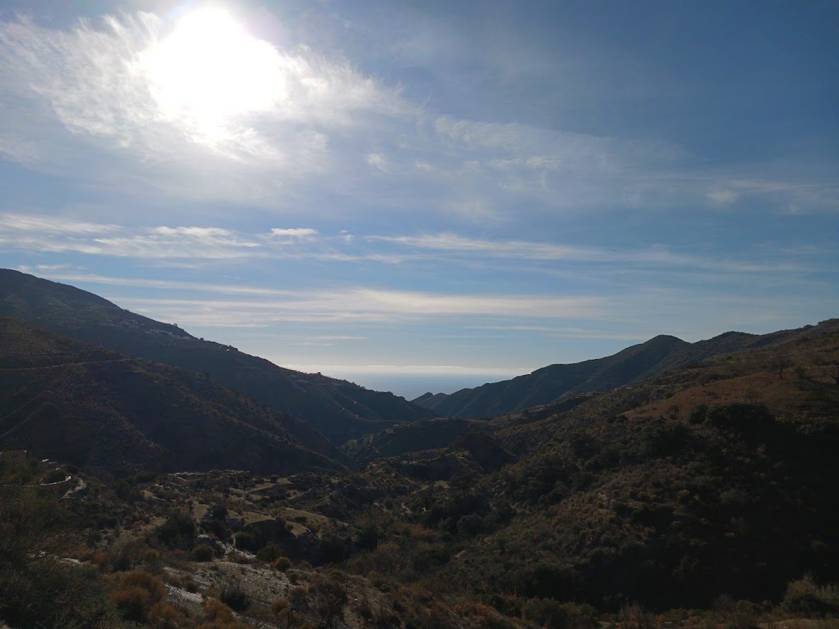
There are climbs you ride, and climbs you remember. The Puerto de la Ragua is one of the second kind. You start among the whitewashed villages of the Alpujarra, with almond trees and terraced hillsides, you climb through pine forest, and you finish at 2,041 metres, on the border between Almería and Granada, with the Sierra Nevada all around you.
It is one of the highest road passes in Spain, and you can ride it on good asphalt with very little traffic. It is long rather than brutal, which makes it the perfect big day for a strong rider and a very achievable one for a fit cyclist who paces the effort.
Three ways up
The pass can be climbed from three sides. Figures vary a little between sources and depending on where you start counting, but this is the picture:
| From | Distance | Climbing | Gradient |
|---|---|---|---|
| Laujar | ~32 km | 1,130–1,290 m | 3.5–3.9% |
| Cherín | 24.4 km | 1,521 m | 6.2% |
| La Calahorra | ~14 km | ~850 m | ~6% |
Laujar de Andarax is on the Almería side, and Cherín and La Calahorra are in Granada. The Almería side is the gentlest and the longest. The Cherín side is the hardest, and we have measured it on our own track (the figures in the table are ours). The north side from La Calahorra is the shortest, and its road can be narrow and difficult in winter.
The Almería side, from Laujar de Andarax
This is the side we like most, and the one that takes you through the Alpujarra of Almería. It begins in Laujar de Andarax, climbs through Paterna del Río and Bayárcal, and then goes up to the pass. The road is wide, the surface is good, and traffic is light.
- The first steps are friendly. After a couple of easy kilometres, the road gets serious for about 3 km at an average of 6%.
- Water and a picnic. The thermal baths of Baños de Santiago appear early on, there is a picnic area at the Fuente Agria (around km 9) and there are two fountains in Bayárcal.
- Bayárcal, the highest village in the province of Almería, was an important silk-producing centre in Muslim times.
- The hardest part. There is about a kilometre at 7% near Paterna del Río, and a steep ramp along the ravine of the Arroyo del Hornillo in the last stretch before the top. The final kilometre eases off.
From Cherín: the hard side
The Cherín side is in Granada, on the south face of the Sierra Nevada. It is shorter and steeper than the Almería side, and it is the one the Vuelta a España used. On our own track it measures 24.4 km, with 1,521 m of climbing at 6.2% on average, from the valley at about 530 m to above 2,000 m. It is regular and relentless: the toughest full kilometre is km 23, at 9.7%, close to the top, and the steepest 300 metres reach about 15%.
Gradient of every kilometre, from the start in Cherín:
From La Calahorra: the short one
From La Calahorra (Granada, north) it is the shortest at about 14 km, with a steady 6%. In winter this side can be narrow and dangerous, so check conditions before going.
At the top
The summit is the political border between Almería and Granada, and the pass sits inside the Sierra Nevada National Park. Nearby rises Pico Chullo, at 2,611 m the highest point in the province of Almería. In winter the pass becomes a recreation area for cross-country skiing and mountain walks.
The two fountains at the top are usually dry, so fill your bottles in Bayárcal.
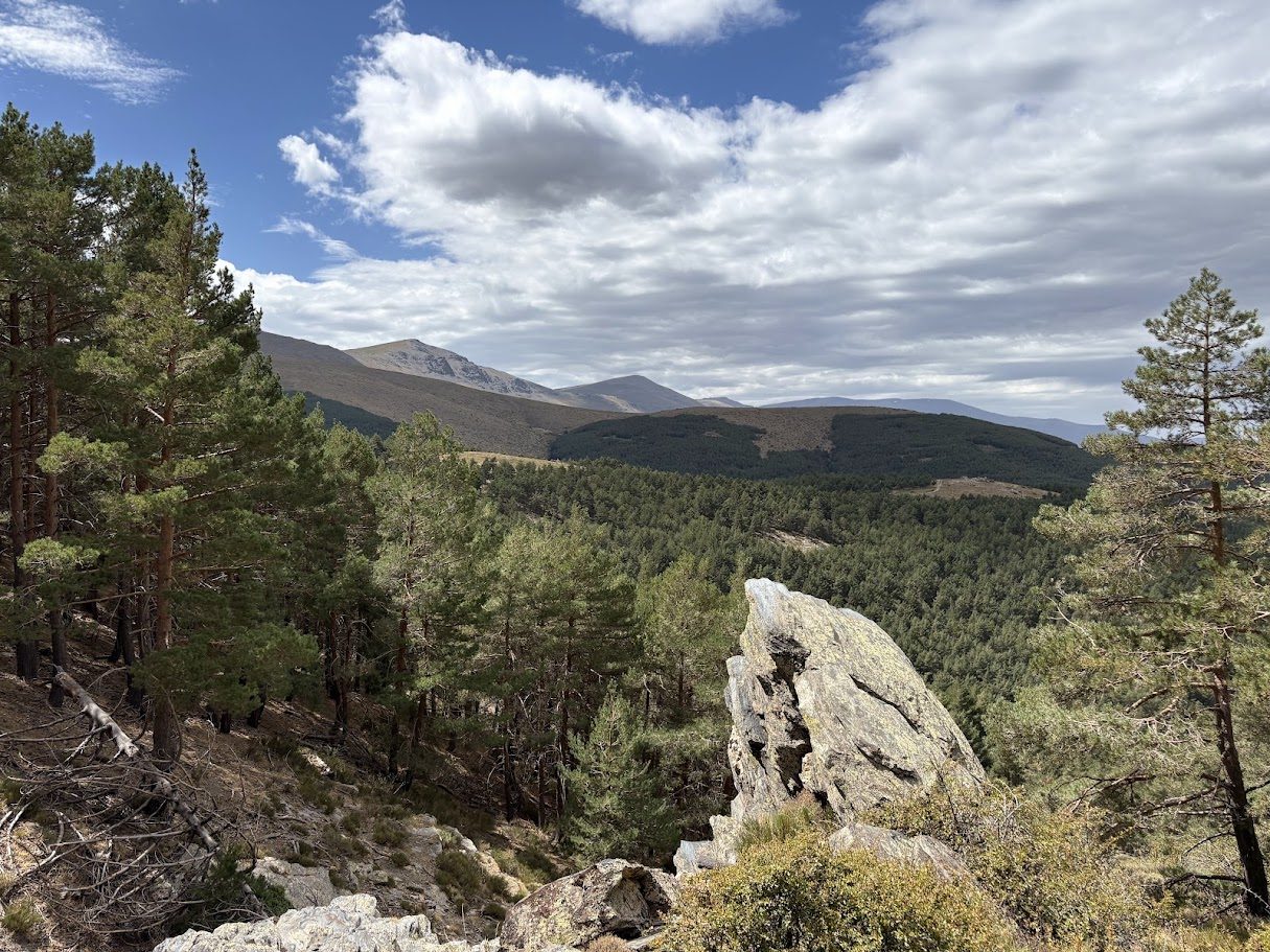
A road with a long history
Long before cyclists, shepherds used this pass. A livestock route linked the winter pastures of Dalías to the summer pastures of the Ragua, and it is said to date from Roman times. In the nineteenth century the writer Pedro Antonio de Alarcón described the sierra as not passable all year.
The Vuelta a España and the Ragua
The Vuelta has climbed the pass more than once. In 2009, stage 13 started in Berja, our base, and went over the Alto de Berja and the Puerto de la Ragua (first category) before finishing at the Alto de Sierra Nevada, at 2,520 m. David Moncoutié won the stage.
Before you go
- Best months: from February to June and from September to November. In midsummer the low part is hot, and in winter the top can have snow and ice.
- Bring a layer, even on a sunny day. At the top it is much cooler than in the valley.
- Check the road if you ride between November and March.
Ride it with us
From Berja, our longest loop, Hard 03, goes over the Ragua: 127 km and about 2,950 m of climbing. Our guide to Berja and La Ragua explains the area and the other loops.