Almería is known for its beaches. Inland, in the Sierra de los Filabres, there is a different province: dry mountains, big skies, white villages and one of the most remarkable roads in Spain, the one that climbs to the Calar Alto observatory, above 2,100 metres.
A desert province with a surprising summit
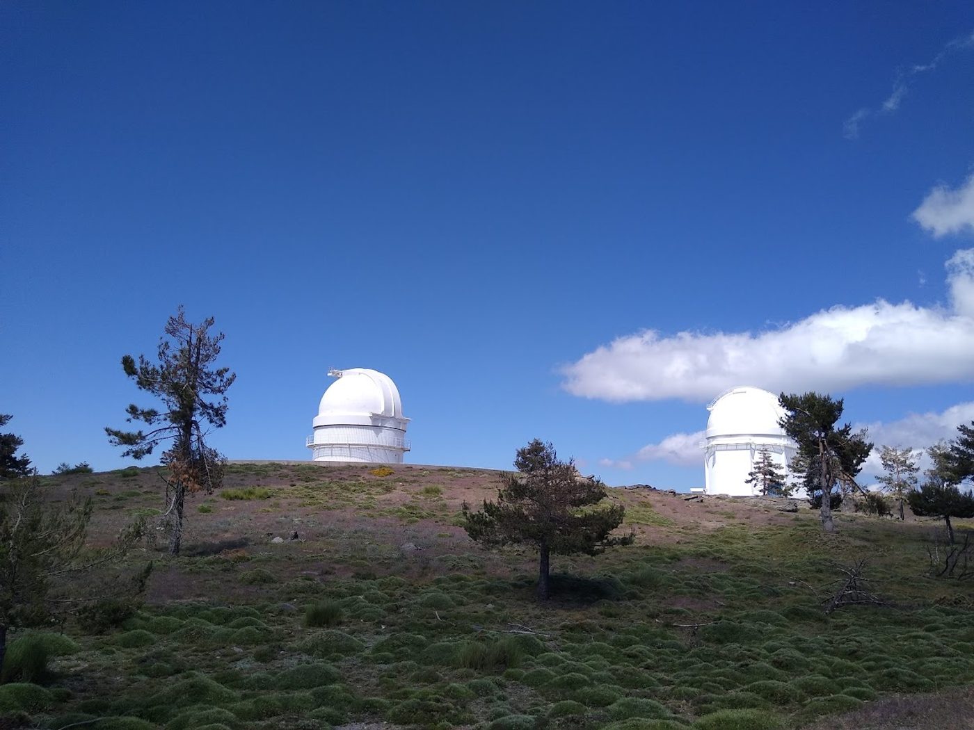
The Almanzora valley, where villages such as Purchena, Tíjola, Serón and Olula del Río sit, is dry and open. The land is ochre and grey, with scattered olive and almond trees. As you gain height, the vegetation changes: scrub gives way to pine forest, and the observatory domes appear on the ridge, white against a deep blue sky.
This is one of the places where Almería's light is at its best.
Calar Alto: the big climb
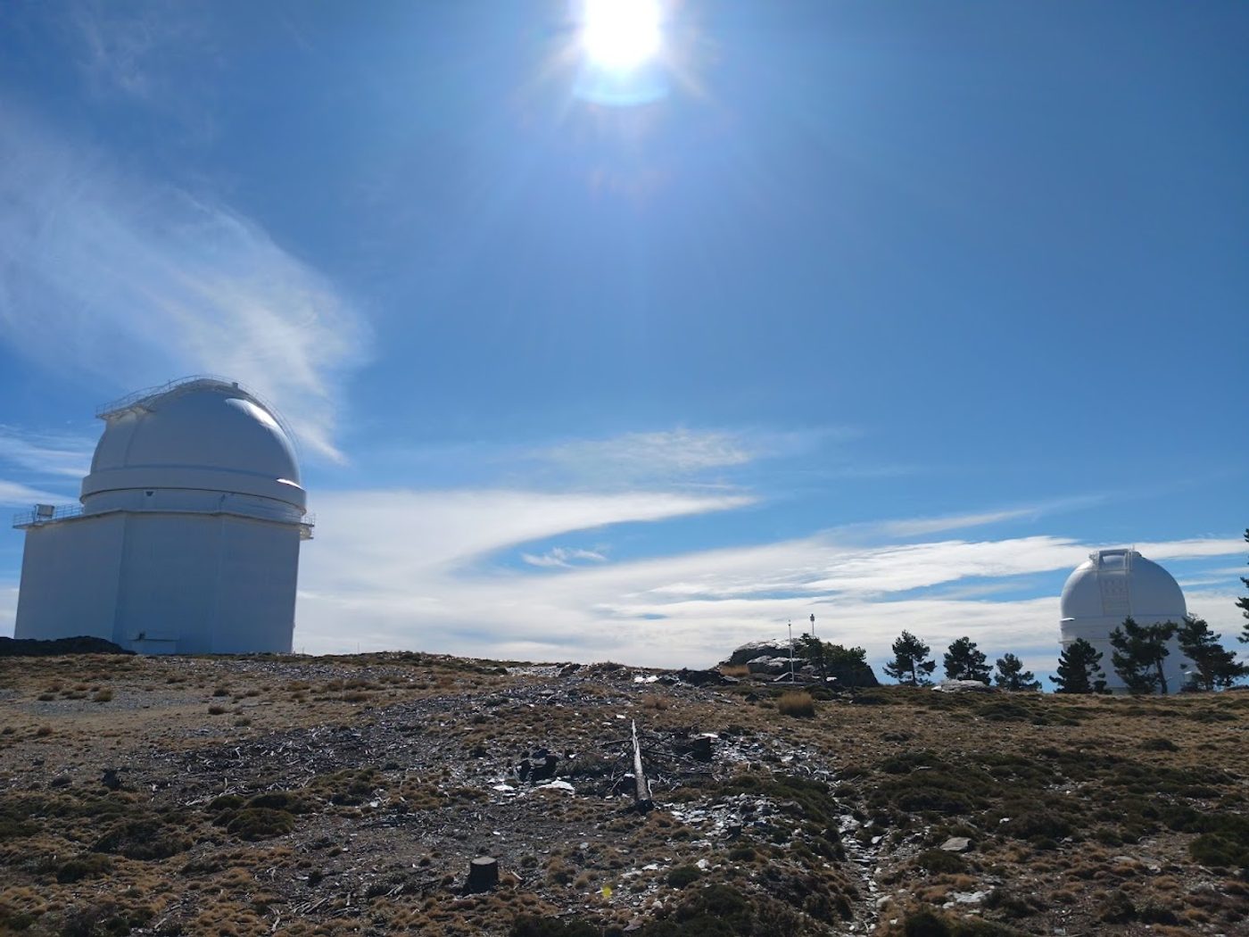
Calar Alto is the signature climb of the area, and it can be ridden from four sides: Gérgal, Serón, Tíjola and Aulago. Each one has its own character, and all of them end in the summit area, at around 2,150 m. It is a long, sustained effort on quiet mountain road, and it finishes at a place most cyclists never get to ride: a working astronomical observatory in the middle of a mountain range. Our full guide compares the four, with profile, map and the gradient of every kilometre: Calar Alto by bike.
Velefique and the Tetica de Bacares
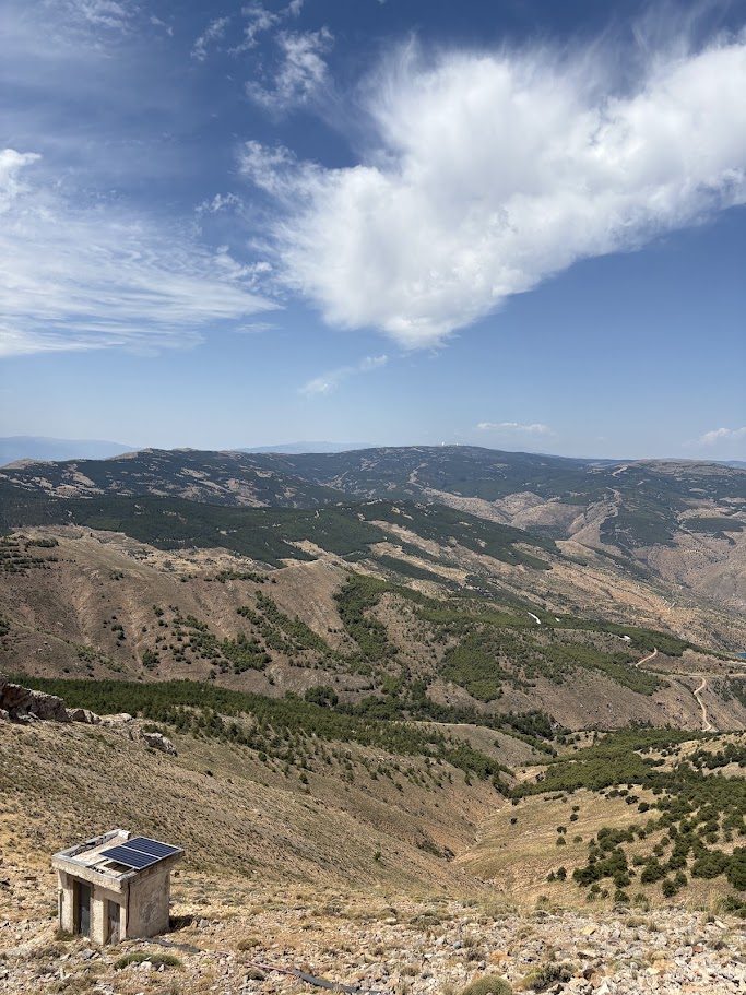
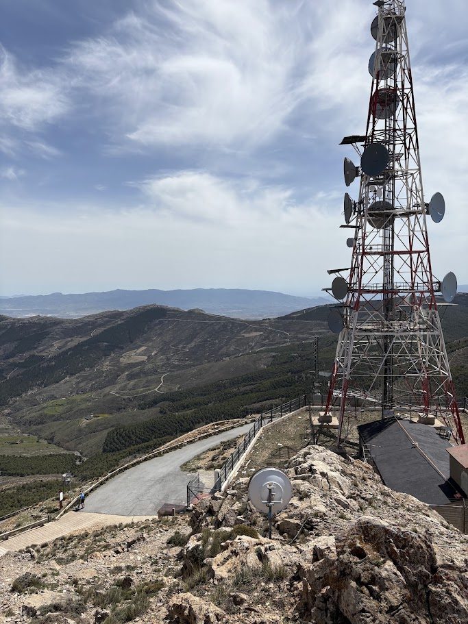
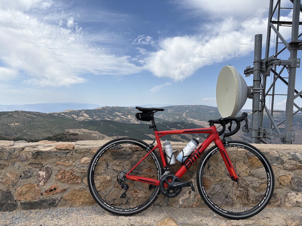
The second great road of the Filabres goes over the Puerto de Velefique, at about 1,850 m, and keeps going to the Tetica de Bacares, at around 2,030 m, one of the best viewpoints of the sierra. It has two faces: the hairpins side from the village of Velefique, and the long and gentle side from Tíjola by Bacares. Read both in Puerto de Velefique by bike.
Shorter climbs of the Almanzora valley
If you want something less than a big day, the valley has three climbs that are good on their own or as part of a loop:
- Alto de la Silveria, from Purchena: 8.4 km, with 485 m of climbing at 5.8%. The shortest and a good warm-up.
- Puerto de la Virgen, from Albánchez: 11.6 km, 585 m, 5.0%. Gentle and regular.
- El Reul Alto, in the marble country: 13 km, 702 m, 5.4%.
The climbs at a glance
| Climb | Distance | Climbing | Gradient |
|---|---|---|---|
| Calar Alto from Gérgal | 22.4 km | 1,420 m | 6.3% |
| Calar Alto from Serón | 27.2 km | 1,412 m | 5.2% |
| Calar Alto from Tíjola | 31.7 km | 1,461 m | 4.6% |
| Calar Alto from Aulago | 24.0 km | 1,277 m | 5.3% |
| Tetica de Bacares from Velefique | 20.7 km | 1,281 m | 6.2% |
| Tetica de Bacares from Tíjola | 32.3 km | 1,367 m | 4.2% |
| El Reul Alto | 13.0 km | 702 m | 5.4% |
| Puerto de la Virgen | 11.6 km | 585 m | 5.0% |
| Alto de la Silveria | 8.4 km | 485 m | 5.8% |
Figures come from our own tracks and may differ a little from other sources.
When to come
The best months are September to November and March to June. In winter, the top of Calar Alto can have snow and cold, so it is best to check the road before you go. In spring the contrast between the dry valley and the pine forest above is striking.
A simple way to plan it
| Level | Distance | Climbing |
|---|---|---|
| Easy | 44–64 km | ~670–1,680 m |
| Medium | 70–76 km | ~1,450–1,870 m |
| Hard | 123–139 km | ~3,150–3,450 m |
Each level has three loops from Armuña de Almanzora, with their elevation profiles. These are proposals: any outing can be tailored to your level.
Beyond the bike
The villages of the valley have a lot of character. Olula del Río and Macael are known for their marble, and the pace of life is slow. It is a good area to combine riding with quiet evenings and local food.