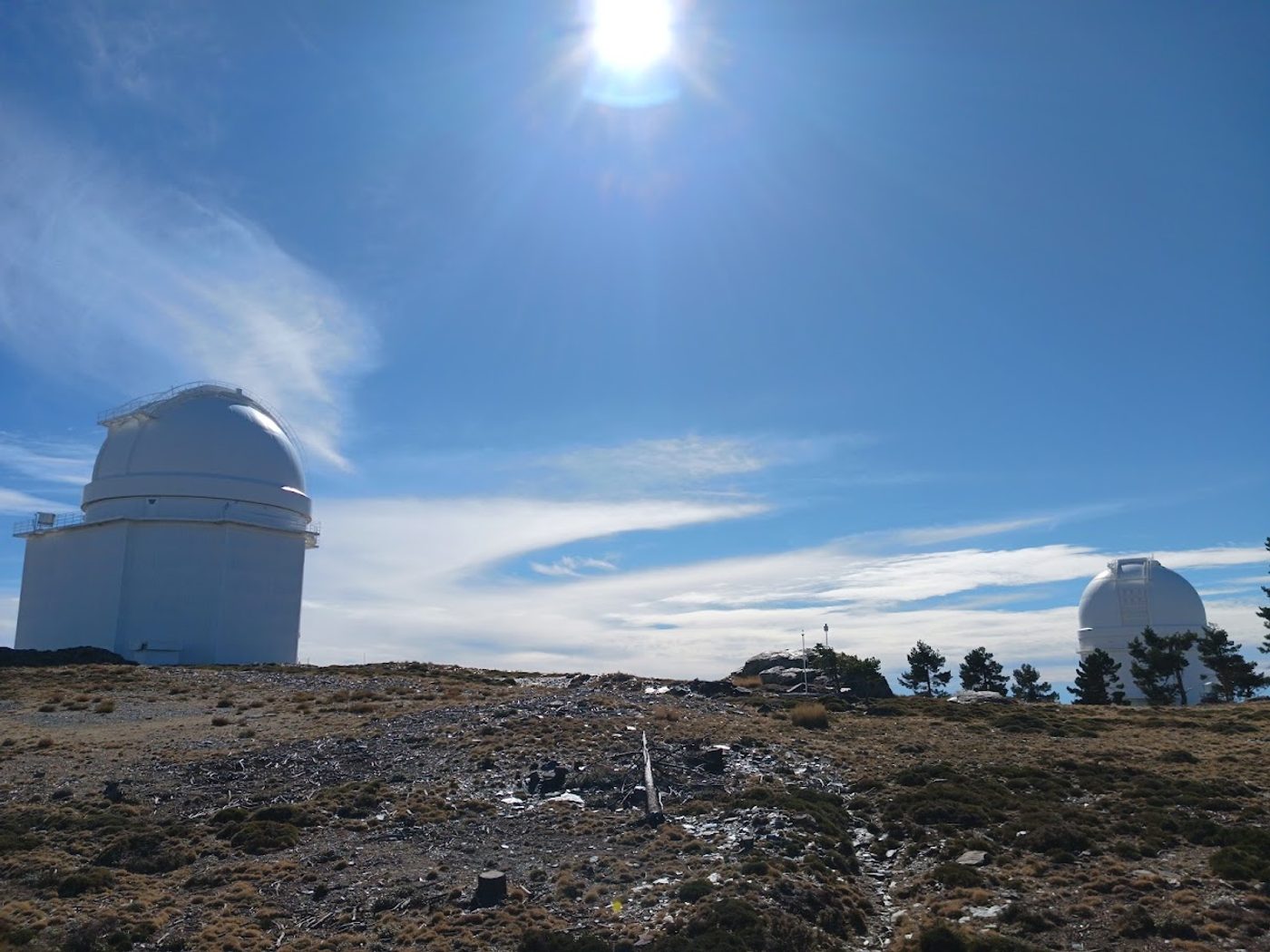
At the top of the Sierra de los Filabres, above 2,100 metres, white domes shine against a deep blue sky. That is the Calar Alto observatory, and the road that leads to it is one of the great climbs of the south of Spain: long, quiet, scenic, and with a finish that few cycling roads can match, a working astronomical observatory on the summit.
You can reach it from four places, and each side has its own character. This page compares them, so you can choose the one that suits your legs and your day.
The four ways up at a glance
The figures below come from our own tracks, and they vary a little between sources and with the exact start and finish point. The Gérgal side is the shortest and the steepest, the Serón side is the regular one, the Aulago side is the quiet one, and the Tíjola side is the longest and the most irregular:
| Side | Distance | Climbing | Gradient |
|---|---|---|---|
| Gérgal | 22.4 km | 1,420 m | 6.3% |
| Serón | 27.2 km | 1,412 m | 5.2% |
| Aulago | 24.0 km | 1,277 m | 5.3% |
| Tíjola | 31.7 km | 1,461 m | 4.6% |
From Gérgal: short, steep and with hairpins
The Gérgal side is the classic. It is the shortest of the three, and its second half is the steeper one: on our track, four kilometres are above 9%. It has many hairpins, especially near the Venta Luisa pass (at around 1,968 m), and the last stretch from the pass to the observatory climbs again at close to 9.5%.
One cycling writer compares this side with the Tourmalet from Campan. If you like climbs that start fast and then ask for more, this is yours.
On our own track, which starts in the valley at about 735 m, it measures 22.4 km with 1,420 m of climbing at 6.3% on average. The hardest full kilometre is km 11, at about 11.6%.
Gradient of every kilometre, from the start in Gérgal:
From Serón: the regular climb
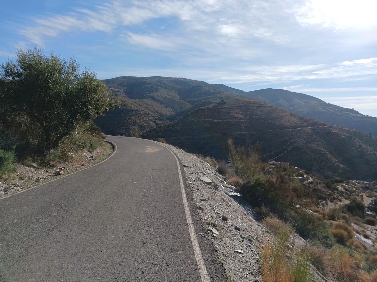
Serón gives the most even gradient: about 27 km at around 5%, with no full kilometre above 10.5%. It is the side to choose if you want a steady rhythm and long views over the valley.
There are two roads from Serón: the new one, and the old Las Menas road, which is very scenic and has recently been resurfaced. It begins with a few steep ramps and then eases.
On our own track, which starts at about 740 m, it measures 27.2 km with 1,412 m of climbing at 5.2% on average. The hardest full kilometre is km 13, at about 10%, the steepest of this long and regular climb.
Gradient of every kilometre, from the start in Serón:
From Tíjola: the long road
Tíjola is the longest way up, about 32 km, and the most irregular. It hides the toughest section of all: about 6 km at 9% towards the Collado del Ramal, which you reach before the final part. It is the side that asks for the most time on the bike. The same writer compares it to the Croix de Fer.
On our own track, which starts at about 695 m, it measures 31.7 km with 1,461 m of climbing at 4.6% on average. The hardest full kilometre is km 20, at about 12%, in the long ramp towards the Collado del Ramal.
Gradient of every kilometre, from the start in Tíjola:
From Aulago: a quieter fourth start
There is a fourth start, from Aulago: 24 km with 1,277 m of climbing at 5.3% on average on our track, the one with the least climbing of the four. It begins with a steep section (the hardest full kilometre is km 3, at 9.7%) and then settles into a steadier rhythm. It is part of our loop Hard 01 from Armuña de Almanzora.
The top
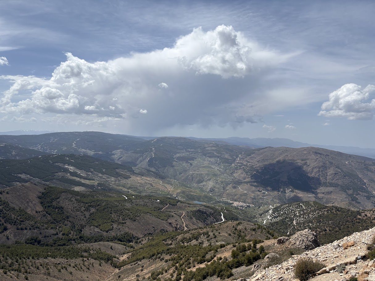
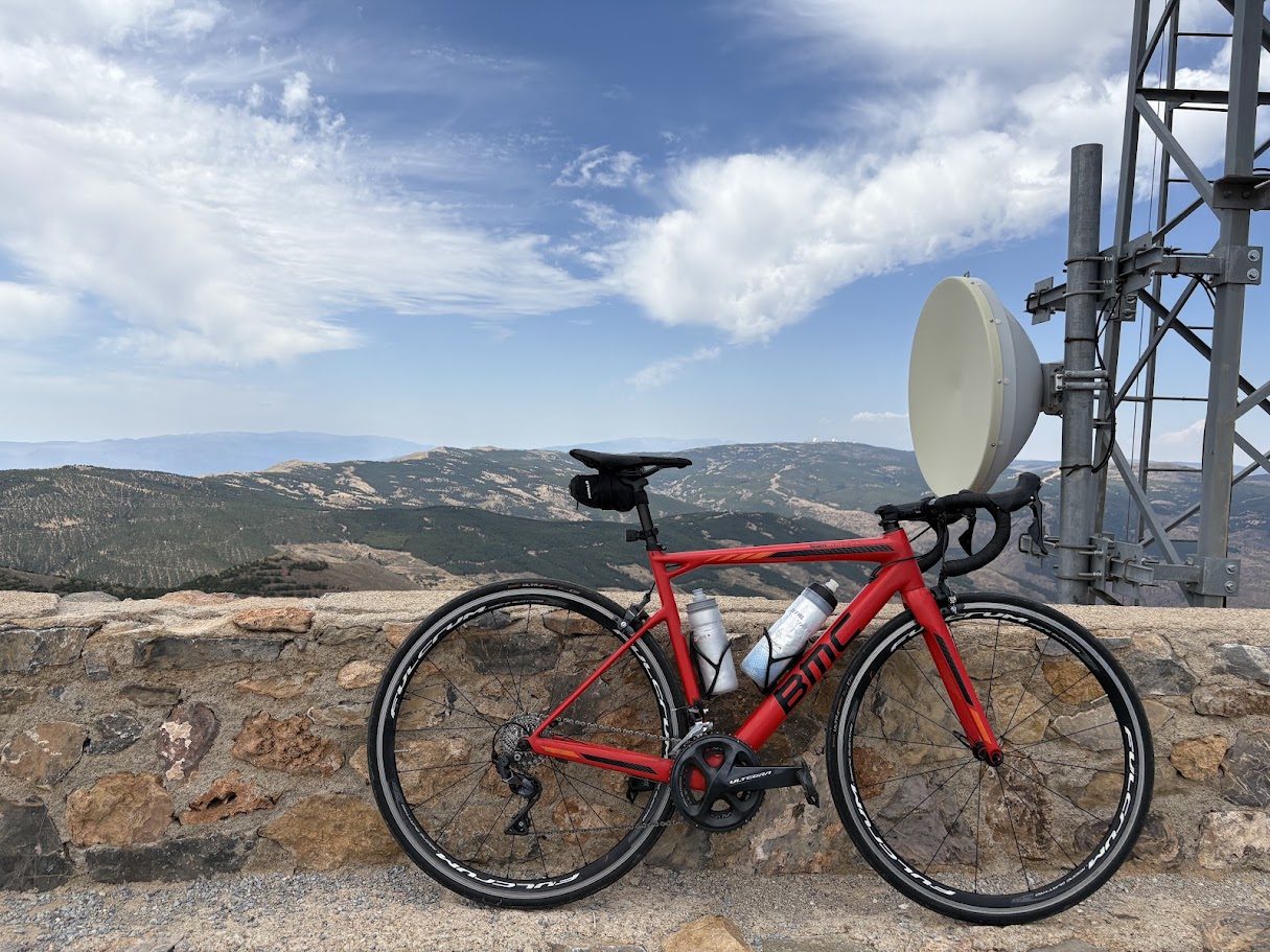
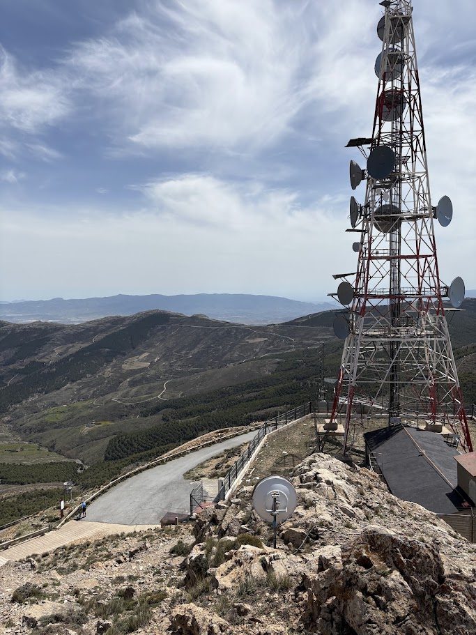
At the end, the observatory sits on a plateau at about 2,150 m. After the long climb, the reward is the setting: the white domes, the silence and a very wide view over the Filabres. It is a good place for the summit photo, and to put on a layer before the descent.
The Vuelta a España at Calar Alto
The Vuelta has finished here twice. In 2004, stage 12, from Almería, was won by Roberto Heras. In 2006, stage 16, 145 km from Almería, was won by Igor Antón, with Alejandro Valverde 23 seconds behind.
Before you go
- Best months: from September to November and from March to June.
- Winter: the top can have snow and cold, so check the road.
- Bring water and a layer. It can be very hot in the valley and cold at the top.
Ride it with us
Calar Alto is the star of the Filabres. Two of our medium loops from Armuña de Almanzora, Medium 01 and Medium 02, go up to the observatory, and so does Hard 01. Our guide to the Filabres and Calar Alto explains the area.