Hard is the full day, and the biggest of the area. These loops are between 123 and 139 km, with 3,150 to 3,450 metres of climbing, and they take you over Calar Alto, across the Sierra de los Filabres and through the marble villages of the Almanzora valley. You start and finish in Armuña de Almanzora, but you spend the day in the mountains.
They are for strong riders who enjoy a long day, several real climbs and very little traffic.
The three loops at a glance
| Loop | Distance | Climbing |
|---|---|---|
| Hard 01 | 125 km | 3,161 m |
| Hard 02 | 123 km | 3,414 m |
| Hard 03 | 139 km | 3,447 m |
All three start and finish in Armuña de Almanzora. They are proposals: we adapt distance and pace to the group.
Hard 01: Calar Alto, Aulago, Gérgal and Serón
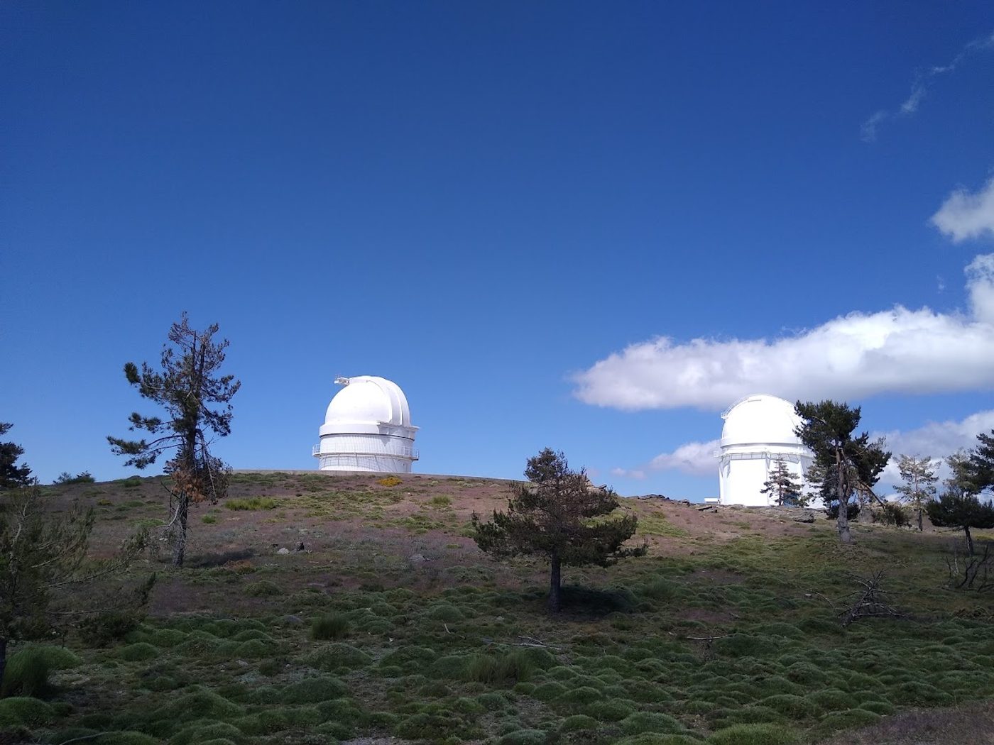
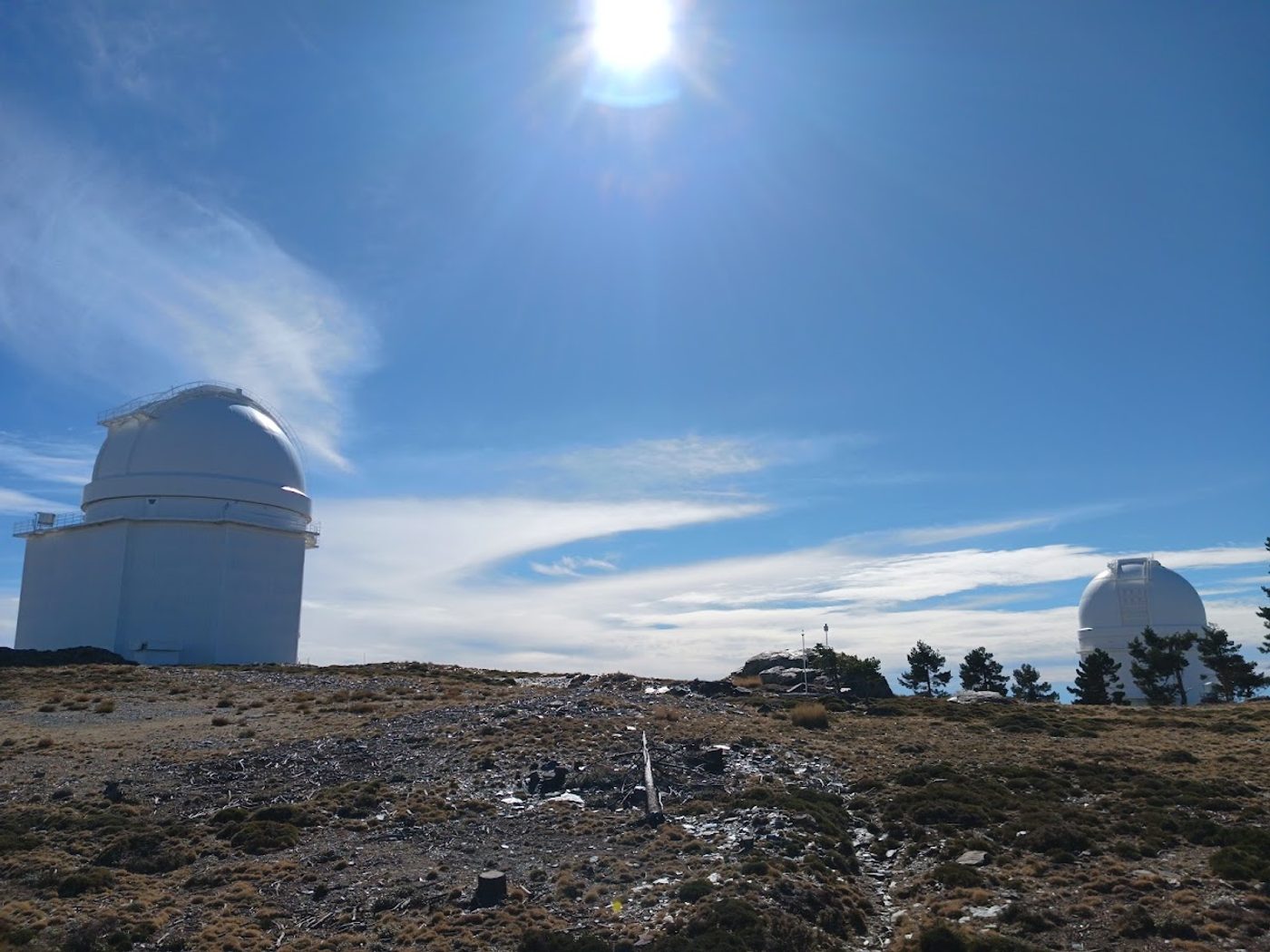
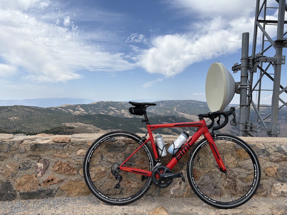
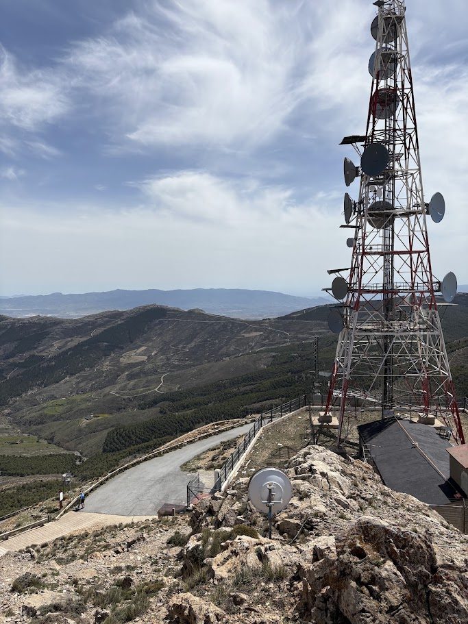
The one that goes over the top: 125 km and 3,161 m, with four climbs and a highest point around 2,150 m. It reaches the Calar Alto observatory (km 35), goes down the other side of the Filabres by Aulago (km 57) and Gérgal (km 69), and comes back to the Almanzora valley through Serón (km 115).
Hard 02: Las Menas, Gérgal, Castro de Filabres, Velefique and Bacares
A crossing of the Filabres through its villages: 123 km, 3,414 m and five climbs, with a highest point around 1,980 m. It goes by Las Menas (km 21), passes about 3 km from Gérgal (km 46), and then goes by Castro de Filabres (km 65) and Velefique (km 78) and returns to the valley by Bacares (km 103).
Hard 03: Purchena, Laroya, Macael, Líjar, Albánchez, Uleila and Cóbdar
The longest and the one with the most climbs: 139 km, 3,447 m and eight climbs, none of them above around 1,160 m. It is a day of constant rolling through the villages of the Almanzora valley: Laroya (km 30), Macael, the marble town (km 40), Líjar (km 54), Albánchez (km 60), Cóbdar (km 65) and Uleila del Campo (km 85), before coming back by Purchena. Two of its climbs have their own page: El Reul Alto and Puerto de la Virgen.
Calar Alto and the high Filabres are real mountains. Snow and cold can make the top difficult in winter, so check the road before you go and carry an extra layer.
What's free here, and what's in the guide
This page tells you which loops exist and what kind of day each one is. The online guide (25 € per area, one guide for the whole group) is where we give you everything you need to ride them without a doubt:
- The GPX track for each loop, ready for your Garmin, Wahoo or phone.
- A detailed map with the route drawn on it.
- Where to stop for water, coffee and lunch, and what is closed on which day.
- The tricky junctions, the roads to avoid and the best time to start.
- Our own tips, from people who ride these roads every week.
Looking for a lower day? See our easy loops and medium loops from Armuña de Almanzora. Want to know more about the area? See our guide to the Filabres and Calar Alto.
When to come
The best months are September to November and March to June. In winter, the high parts of the Filabres can have snow and cold. In spring the contrast between the dry valley and the pine forest above is striking.