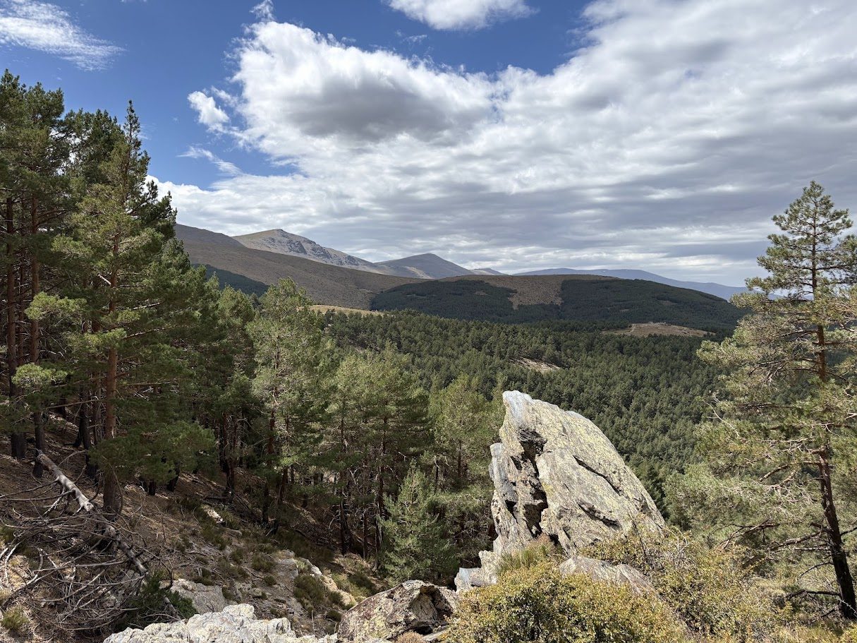
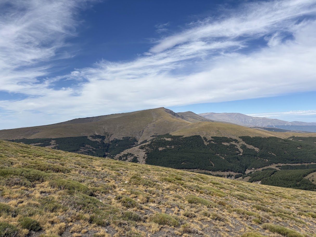
El Reul Alto is a climb of 13 km with 702 m of ascent and an average gradient of 5.4%. It starts at about 457 m, at the hamlet of Urbanización Europa, and reaches 1,153 m. The steepest 300 metres reach about 16.5%. The hardest full kilometre is km 12, at 9.1%.
A climb of the north face of the Filabres, close to the marble villages of Macael and Cóbdar.
The climb in numbers
| Length | Climbing | Average | Steepest 300 m |
|---|---|---|---|
| 13 km | 702 m | 5.4% | 16.5% |
Profile and map
Kilometre by kilometre
Average gradient and climbing of each kilometre.
km 15.1%+51 m
km 24.8%+48 m
km 30.8%+8 m
km 45.9%+59 m
km 53.0%+30 m
km 65.4%+54 m
km 76.1%+61 m
km 87.8%+78 m
km 91.6%+16 m
km 108.5%+85 m
km 115.8%+58 m
km 129.1%+91 m
km 135.7%+57 m
under 3% 3–5% 5–7% 7–9% 9–12% over 12%
Ride it with us
This climb is part of this loop:
Our guides explain the area: the guide to the Filabres and Calar Alto.
Water, food and shops on the climb
- Start: Autorreparaciones Matías
- km 0.6: Bar or restaurant
- km 1.9: Los Membrives
- km 2.3: Bar Musical El Patio
Mapped in OpenStreetMap, within 120 m of the road. Opening hours are not included, so do not rely on a stop without checking.
Before you go
- Water: carry two bottles, and check the stops above before you rely on them.
- When: early in the day in summer, and check the weather and the wind before you leave.
- Pace: the hardest part is usually not the start, so keep something in reserve.
- Stats: distance, climbing and gradients come from our own tracks and may differ by a few percent from other sources.