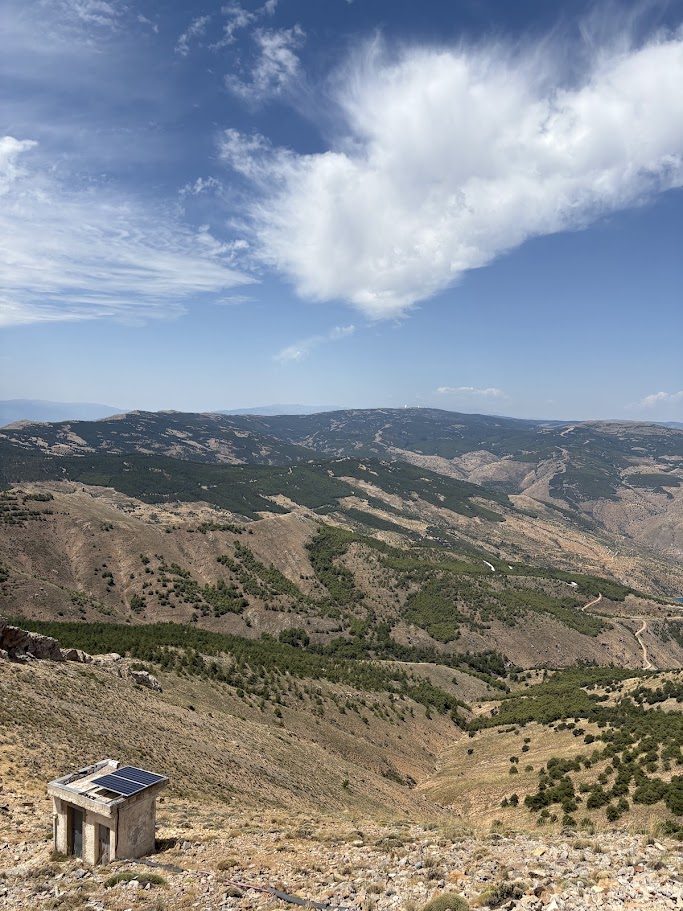
The Puerto de Velefique has two faces. On one side, a small white village of the Sierra de los Filabres, with fewer than 250 inhabitants, from where a road starts climbing straight into dry, rocky country and loops through many hairpins. On the other, the valley of Bacares, where the road winds up through pine forest. Both meet at a pass of around 1,850 metres, with a wide view, and a road that does not stop: if you have legs left, it continues to the Tetica de Bacares.
It is a climb that the Vuelta a España knows well, and one of the most beautiful in the province.
Two ways up
The figures below come from our own tracks and run all the way to the Tetica de Bacares, the viewpoint at the end of the same road, a little above the pass. Sources vary depending on where you start counting. The village of Velefique sits at about 930 m and Tíjola at about 690 m. Our Velefique track starts a few kilometres below the village, at about 750 m, where the climb really begins.
| Side | To the Tetica | Climbing | Gradient |
|---|---|---|---|
| Velefique | 20.7 km | 1,281 m | 6.2% |
| Tíjola, by Bacares | 32.3 km | 1,367 m | 4.2% |
The pass itself comes at about km 18 on the Velefique side and km 30 on the Tíjola side.
From Bacares itself the road to the pass is about 12 km at an average of around 5%, according to our own tracks. The pass is at about 1,820–1,880 m, depending on the source, and the Tetica de Bacares at about 2,030 m on our tracks (some sources say 2,074 m).
From the village of Velefique: the hairpins side
This is the more spectacular side, and the harder one. A sign at the entrance of the village shows the gradients, and it does not lie. The first 4 km are the hardest, between about 8.7% and 9.4%. It is better to start gently, because the road does not stop asking for a while.
After that it eases to about 6–7%, and then the gradient keeps moving between 7% and 2%, with many kilometres above 6%. The last kilometre before the pass is much more relaxed.
Hairpins, rock and pine forest. This is a road for hairpin lovers: bend after bend, with views back down the mountain, an excellent surface and very little traffic. The landscape is dry and rocky, with dramatic rock formations, and around 1,000 m the road enters a pine forest that makes it cooler.
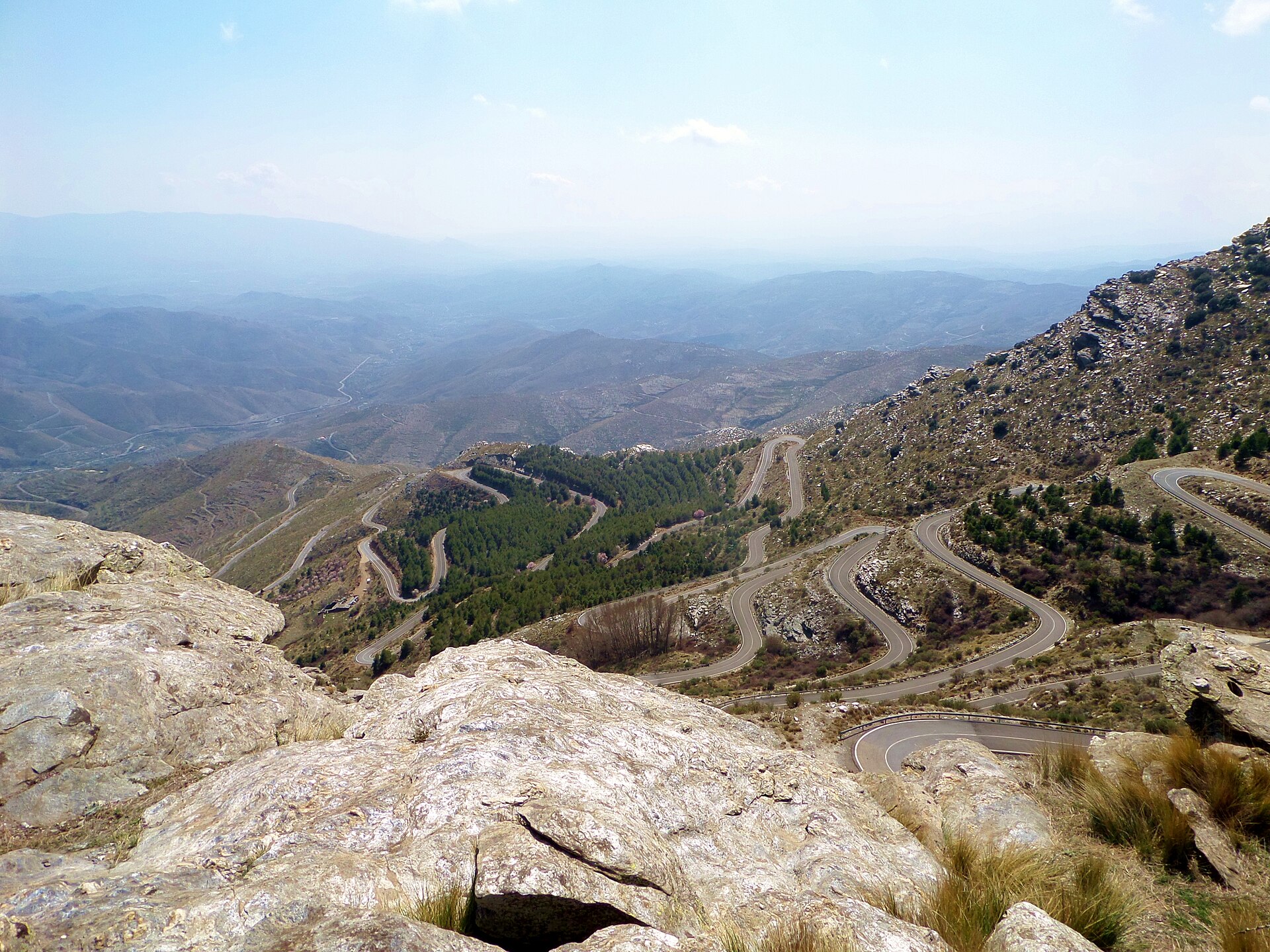
On our track, which starts below the village, the steepest full kilometre is km 7, at about 13%, among the hairpins.
Gradient of every kilometre, from the start below Velefique:
From Bacares and Tíjola: the long and gentle side
The other side is longer and kinder. From Tíjola the road climbs gently to Bacares, a white village under its castle at about 1,200 m, and from there it keeps climbing steadily to the pass: about 12 km at around 5%, among pine forest and with the valley falling away below you. It is a good way to enjoy the road and save your legs for the last steep push to the Tetica.
You can start from Bacares for a shorter day, or from Tíjola for the full climb. On our track the road first climbs to about 1,310 m, then drops to Bacares at about 1,190 m, and the long steady climb to the pass starts there.
Gradient of every kilometre, from the start in Tíjola:
The extra bit: the Tetica de Bacares
If you still have energy after the pass, the road goes on to the Tetica de Bacares, at about 2,030 m on our tracks (some sources say 2,074 m). It is the same road, and it adds about 2.5 km and 190 m of climbing to the pass, from either side. After roughly a kilometre of flat road, it climbs about a kilometre at 7% and then goes into ramps of 8% and 11%. The last 300 metres are on concrete, at around 17%. It is short, steep and a good place for a photograph of your bike by the wall at the top.
The Vuelta a España at Velefique
In 2009, stage 12 of the Vuelta went from Almería to the Alto de Velefique, 174 km. The peloton climbed it once after 55 km and again at the finish. The stage was won by Ryder Hesjedal.
Before you go
- When: the climb is usually open all year, but the best months are from September to November and from March to June. In winter the top can be cold, with snow.
- Pace yourself over the first 4 km on the Velefique side.
- Carry a spare tube and a repair kit. There is little help on the way.
- Bring a layer. It can be much cooler at the top than in the villages.
Ride it with us
Our loops use both sides. The Easy 01 loop from Armuña de Almanzora goes up by Bacares, the gentle side, and Hard 02 passes through the village of Velefique. Our guide to the Filabres and Calar Alto explains the area.
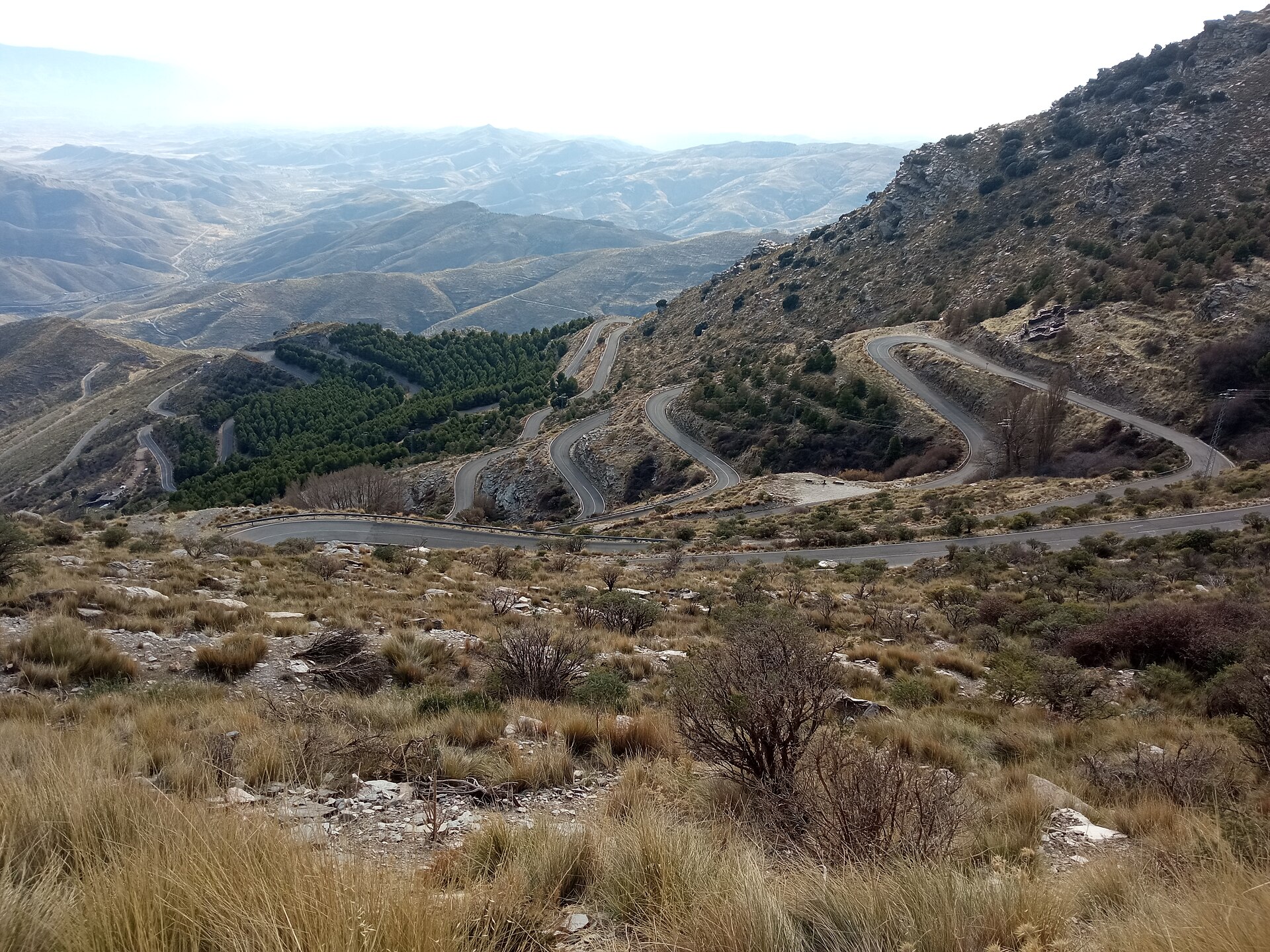
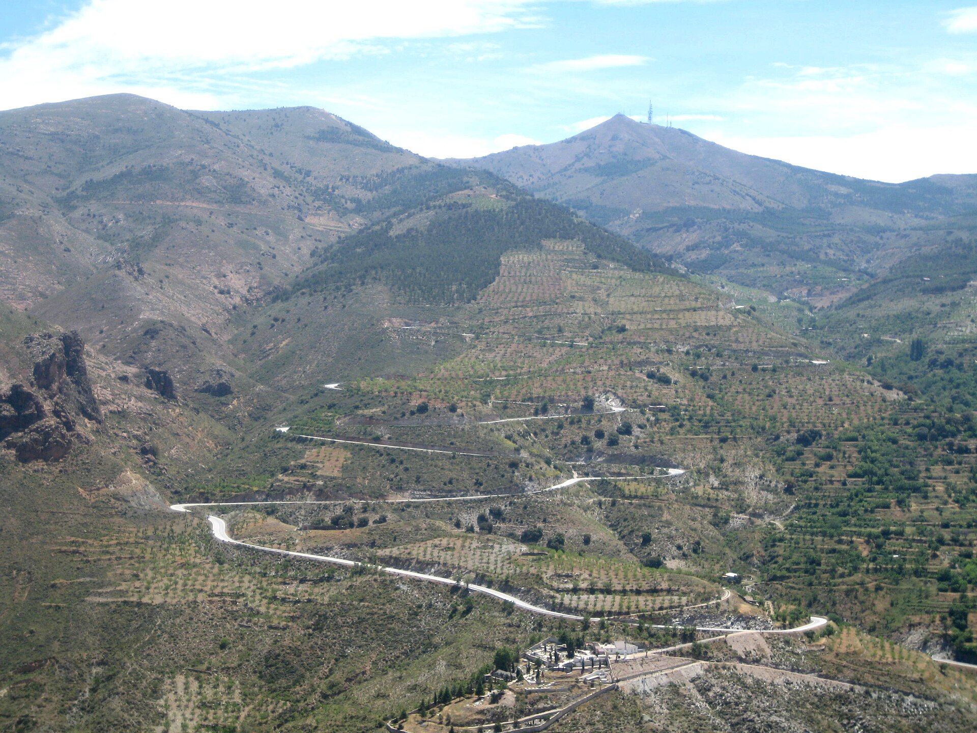
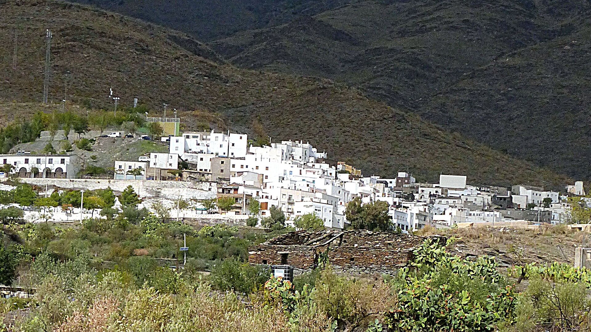
Photos of the hairpins and of Velefique, via Wikimedia Commons: CFiesta (CC BY-SA 4.0), 80kmh (CC BY 4.0), Julen Iturbe-Ormaetxe (CC BY-SA 2.0) and Ziegler175 (CC BY-SA 4.0).