Medium in Vera means days of 75 to 95 km, with between 630 and 1,400 metres of climbing. One loop goes into the mountains, and the other two follow the coast, one to the province of Murcia and the other to the Cabo de Gata natural park. They suit riders who are comfortable with three to five hours in the saddle.
The three loops at a glance
| Loop | Distance | Climbing | Highest point |
|---|---|---|---|
| Medium 01 | 95 km | 1,403 m | about 750 m |
| Medium 02 | 75 km | 634 m | about 150 m |
| Medium 03 | 89 km | 1,169 m | about 180 m |
All three start and finish in Vera.
Medium 01: Antas, Bédar, Lubrín, Turre and Mojácar
The mountain day. It leaves Vera through Antas (km 13), passes Los Gallardos (km 23) and Bédar (km 28), and climbs to Lubrín (km 42), on the Alto de Lubrín. Beyond Lubrín, the loop reaches its highest point, about 750 m, at around km 48, then comes down the other side of the Sierra Cabrera to Turre (km 76) and Mojácar (km 80), and back to Vera.
Medium 02: Águilas and Palomares
The flattest day. The farthest point of this loop, at around km 33, is the town of Águilas, already in the province of Murcia, and the way back follows the coast past Palomares. The highest point is only around 150 m, and the climbing adds up to 634 m. A good choice for a day of distance without mountains.
Medium 03: Carboneras and Agua Amarga
A coastal loop into the Cabo de Gata-Níjar natural park. It goes through Carboneras (km 30) and reaches Agua Amarga (km 38), a small white village by a cove, and returns by Carboneras. The highest point is around 180 m, but the road rolls all the way and the climbing adds up to 1,169 m.
See also
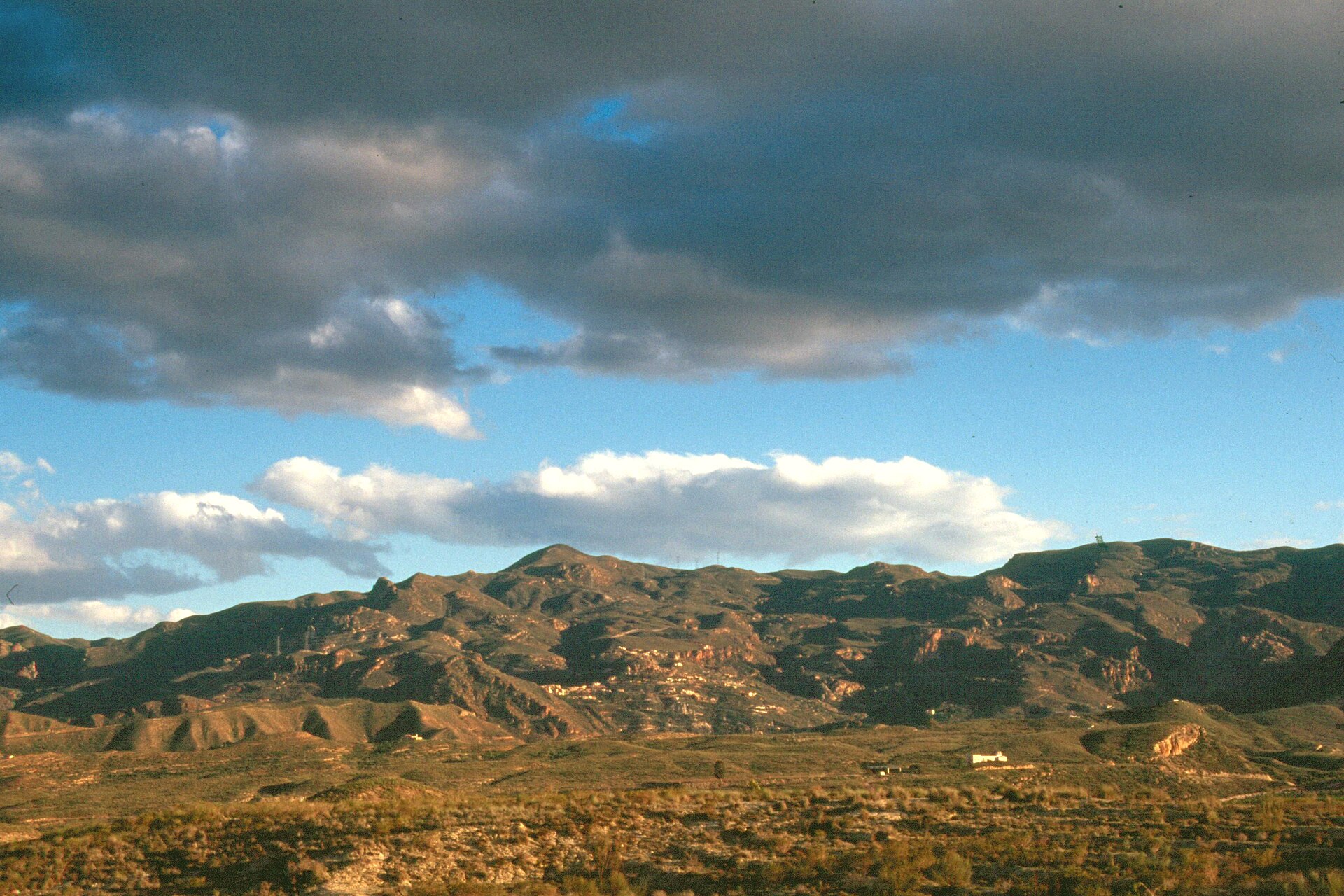
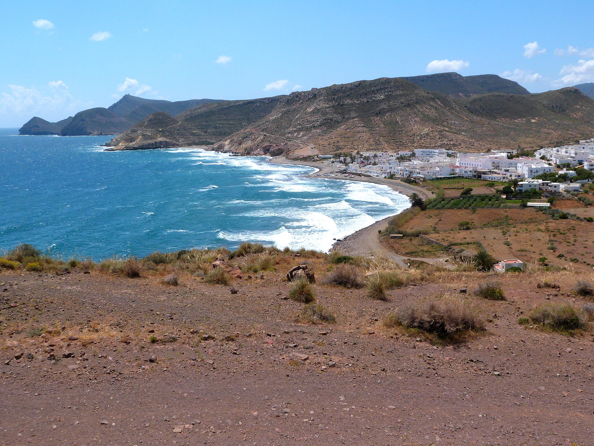
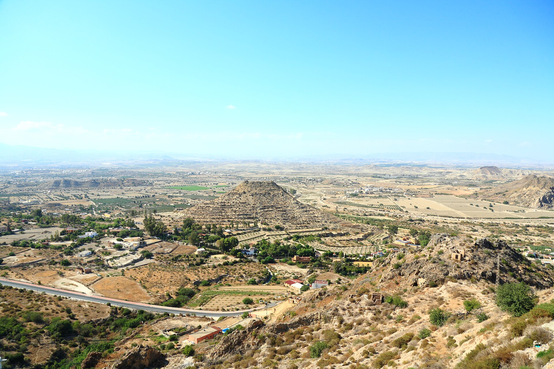
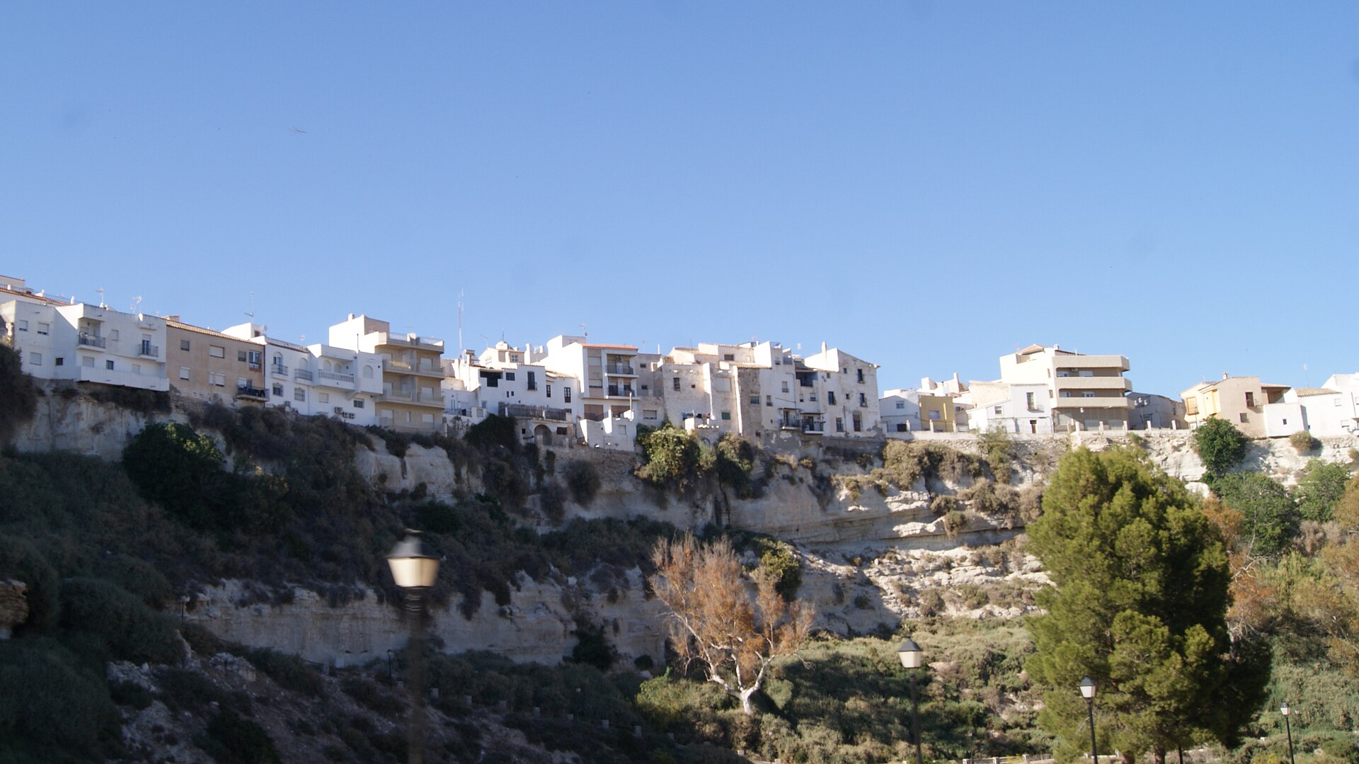
Photos via Wikimedia Commons: Sierra Cabrera, Cillas (CC BY-SA 4.0); Agua Amarga, ziegler175 (public domain); between Carboneras and Agua Amarga, Audalix (CC BY-SA 4.0); Mojácar viewpoint, Javier Perez Montes (CC BY-SA 4.0); Sorbas, Schumi4ever (CC BY-SA 3.0).