Alto de Los Gallardos is a climb of 12 km with 535 m of ascent and an average gradient of 4.5%. It starts at about 93 m, at the village of Los Gallardos, and reaches 620 m. At the top you will find a viewpoint and Cerro de los Frailes. The steepest 300 metres reach about 12.8%. The hardest full kilometre is km 8, at 6.3%.
A steady climb that starts in Los Gallardos and ends a couple of kilometres from Bédar, with a gradient of about 4% to 5% on average.
The climb in numbers
| Length | Climbing | Average | Steepest 300 m |
|---|---|---|---|
| 12 km | 535 m | 4.5% | 12.8% |
Profile and map
Kilometre by kilometre
Average gradient and climbing of each kilometre.
Ride it with us
It is not part of our current loops yet. Tell us if you would like to ride it.
Our guides explain the area: the guide to Vera and the Levante.
Water, food and shops on the climb
- Start: Marene, Apolo
- km 1.3: Simon's
- km 7.8: El Cortijo
- km 7.9: El Paso, Bar Empalme, Miramar, The Corner
Mapped in OpenStreetMap, within 120 m of the road. Opening hours are not included, so do not rely on a stop without checking.
Before you go
- Water: carry two bottles, and check the stops above before you rely on them.
- When: early in the day in summer, and check the weather and the wind before you leave.
- Pace: the hardest part is usually not the start, so keep something in reserve.
- Stats: distance, climbing and gradients come from our own tracks and may differ by a few percent from other sources.
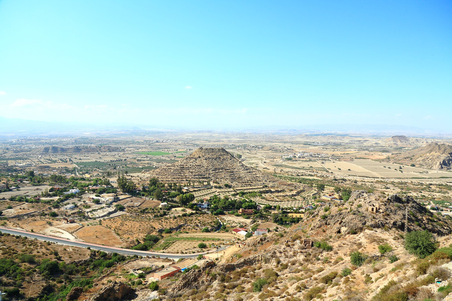
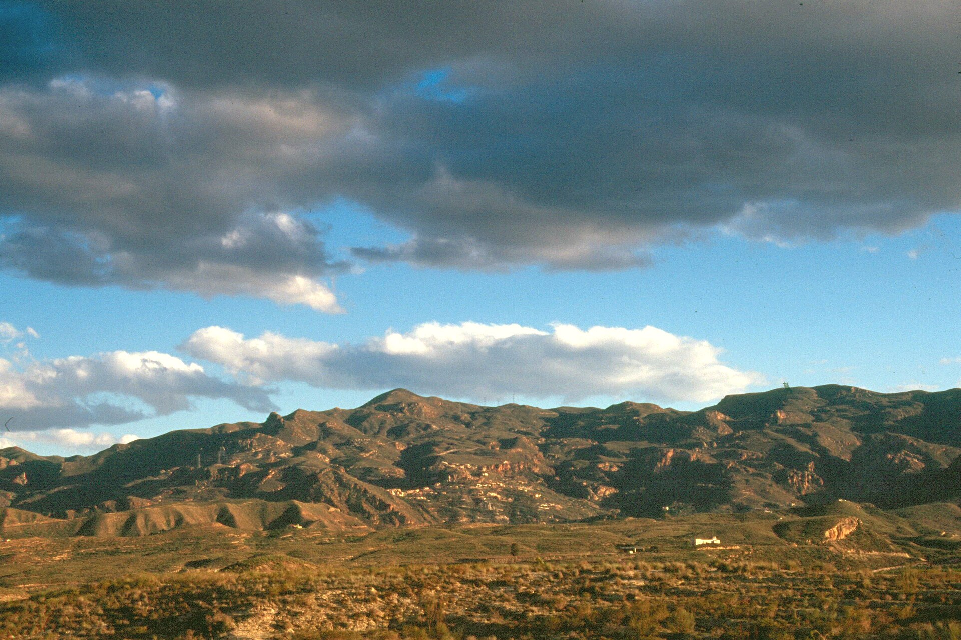
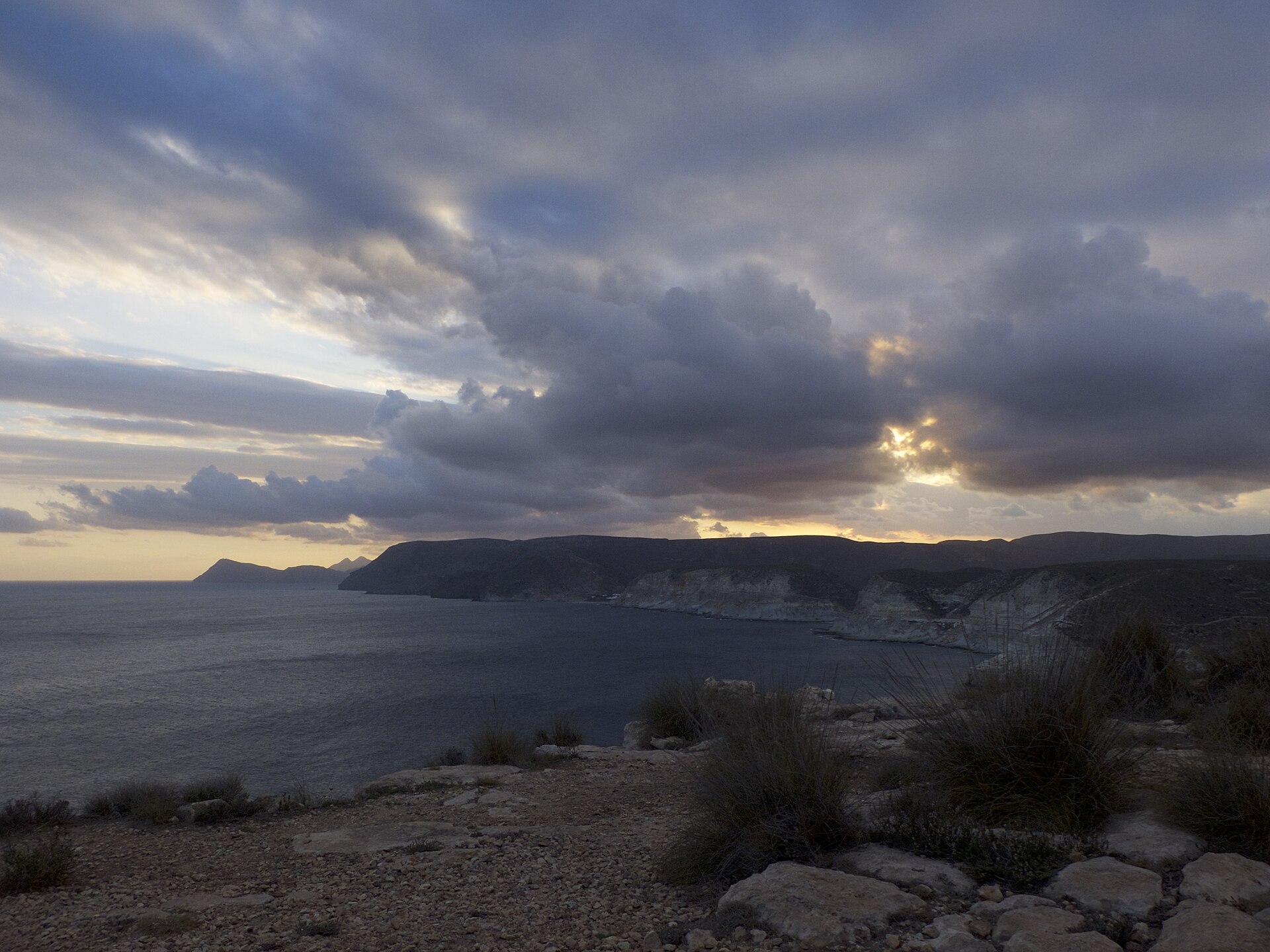
Photos via Wikimedia Commons: Vera, Ismael Olea (CC BY 4.0); Mojácar viewpoint, Javier Perez Montes (CC BY-SA 4.0); Sierra Cabrera, Cillas (CC BY-SA 4.0); between Carboneras and Agua Amarga, Audalix (CC BY-SA 4.0).