Última actualización: 2 de July de 2025
🏣 Region: Sierra
🌍 Sub-region: North
🚣️ Distance: 142.4 km
🏔️ Elevation gain: 3,371 m
📂 Download GPX: GPX File
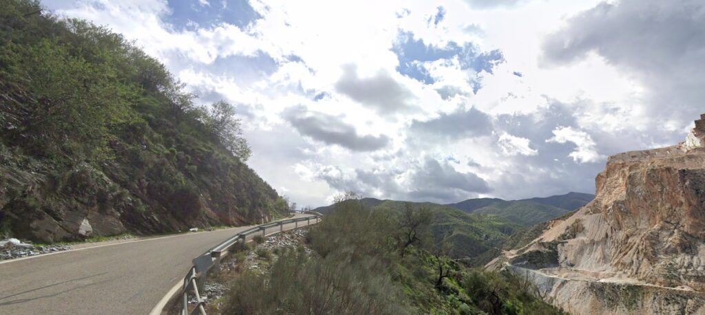
A grand fondo loop deep into rural Almería, linking lesser-known climbs and remote villages. From Tíjola, the route starts with the steady 13 km ascent to Reul Alto via Laroya, a demanding but scenic opener.
After reaching Macael, the terrain becomes punchy and irregular, with rolling climbs through Chercos, Benizalón, and Uleila del Campo. From Uleila, the final serious test begins: the Puerto de la Virgen (south side) — long, consistent, and key to closing the day.
The return via Albanchez finishes this 140+ km loop with over 3,300 m of gain. A great option for discovering the lesser-ridden mountain ranges of the province.
⛰️ Climbs:
- ⛰️ 13.8 km · 755 m · 5.3 %
- ⛰️ 5.4 km · 395 m · 6.1 %
- ⛰️ 2.7 km · 145 m · 3.7 %
- ⛰️ 5.9 km · 301 m · 4.8 %
- ⛰️ 3.7 km · 171 m · 4.4 %
- ⛰️ 10.6 km · 490 m · 4.5 %
- ⛰️ 10.6 km · 534 m · 4.2 %
- ⛰️ 1.3 km · 42 m · 3.3 %
- ⛰️ 1.8 km · 90 m · 3.7 %
🔑 Highlights:
- 🏔️ Reul Alto: long climb from Laroya to open the ride.
- 🌄 Rolling terrain: Macael to Uleila offers punchy, scenic stretches.
- 🧃 Limited supplies: plan for water stops in Macael or Uleila.
- 🗺️ Exploration route: ideal to discover quiet Almería mountain roads.