Última actualización: 2 de July de 2025
🏣 Region: Sierra
🌍 Sub-region: North
🚣️ Distance: 118.3 km
🏔️ Elevation gain: 2,619 m
📂 Download GPX: GPX File
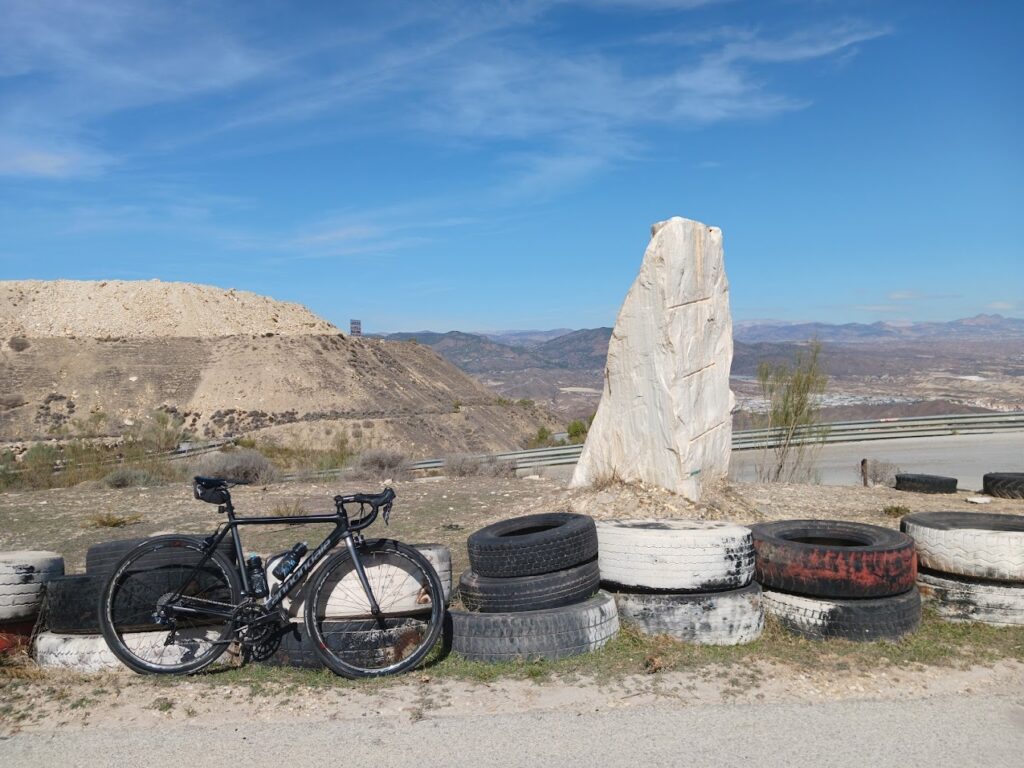
A mid-mountain route that starts in Tíjola and dives into the wild, undulating terrain of northern Almería. After a gentle start, the climb begins in Macael via the marble road, a wide and scenic ascent that sets the tone for the day.
The Alto de la Virgen from the north (15.1 km at 4.2%) is the first major test, offering steady gradients and panoramic views. After the summit, the route rolls through a series of short climbs and descents, passing picturesque villages like Líjar, Benitagla, and Chercos.
The route never lets up, demanding consistent effort throughout. Smooth asphalt and virtually no traffic make this ideal for long training days. Though it lacks high-altitude giants, the accumulated elevation and relentless terrain deliver a worthy challenge.
⛰️ Climbs:
- ⛰️ 10.8 km · 530 m · 4.7 %
- ⛰️ 15.1 km · 665 m · 4.2 %
- ⛰️ 6.8 km · 405 m · 6.0 %
- ⛰️ 3.1 km · 171 m · 5.2 %
- ⛰️ 3.2 km · 171 m · 5.2 %
- ⛰️ 1.3 km · 42 m · 3.3 %
- ⛰️ 1.8 km · 90 m · 3.7 %
🔑 Highlights:
- ⚠️ Alto de la Virgen (north): long and steady.
- 🌄 Relentless rolling terrain with many short climbs.
- 🛣️ Excellent tarmac and no traffic.
- 🧭 Perfect for endurance training without alpine climbs.