Última actualización: 2 de July de 2025
🏣 Zona: Sierra
🌍 Subzona: Oeste
🚴♂️ Distancia: 99,2 km
🏔️ Desnivel positivo: 2.287 m
📂 Descargar TCX
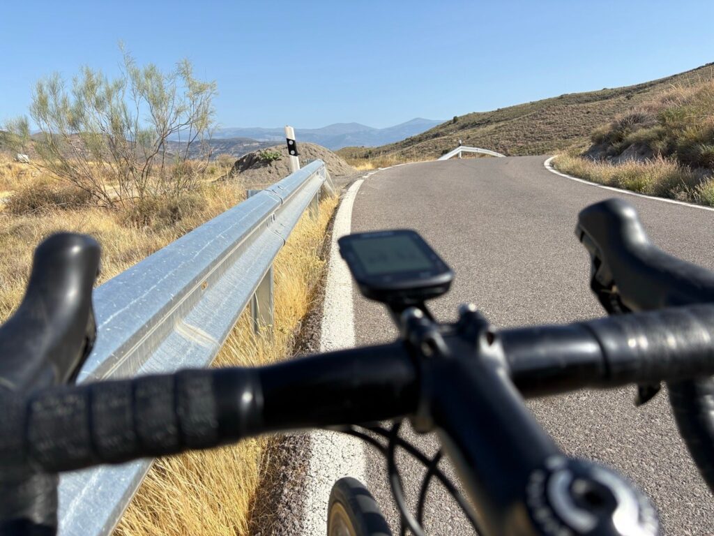
This mid-distance route offers significant climbing without venturing far from Berja. It runs entirely through the western Sierra de Gádor, a mid-mountain area with rugged terrain and little urban development. The landscape reflects the Alpujarra of Almería: pine-covered slopes, Mediterranean scrub, and wide-open views of both the coast and Sierra Nevada.
Steady climbs and rolling terrain
The first part of the ride mixes short ramps with longer ascents. The key effort is a 18.7 km climb with a 4.6% average gradient. Overall, the route features over 2,200 meters of elevation and six climbs—all averaging above 4%. These figures highlight the mountainous nature of the ride.
Quiet roads through Castala
The return passes through Castala, just outside Berja. These roads are narrow, well-maintained, and almost car-free. Surrounded by pine forests, the area is peaceful and scenic. Castala is also a locally appreciated natural spot, making it an excellent final segment.
Perfect for endurance training
In summary, this is a balanced and varied mountain loop. It’s well-suited for long training sessions or days when you want to gain serious elevation without going far from town.
⛰️ Climbs
4.6 km · 247 m · 5.3%
18.7 km · 901 m · 4.6%
2.1 km · 99 m · 4.5%
1.4 km · 53 m · 3.3%
11.4 km · 472 m · 4.0%
6.8 km · 399 m · 4.6%
🔑 Highlights
🏔️ Western Sierra de Gádor: mid-mountain with Mediterranean vegetation
🔁 Steady climbing profile, no extreme gradients
🌲 Quiet roads and natural surroundings in Castala
🧃 Services available in Berja; bring water outside the town area