Última actualización: 2 de July de 2025
🏣 Zona: Sierra
🌍 Subzona: Oeste
🚴♂️ Distancia: 139,7 km
🏔️ Desnivel positivo: 3.284 m
📂 Descargar TCX
Through the Alpujarra to a major mountain pass
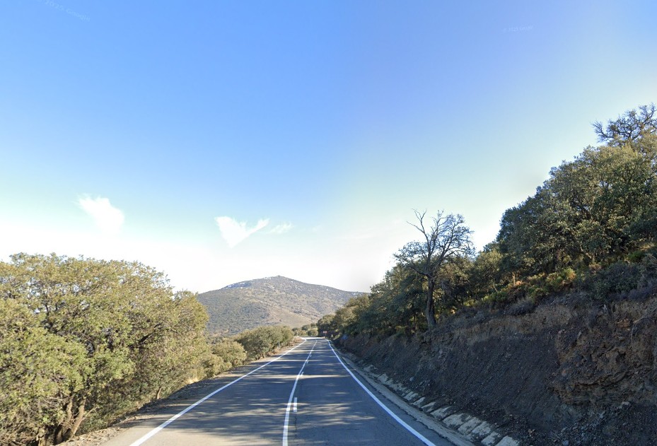
This high-mountain route explores the Alpujarra of Almería, a rugged region with small villages, terraced hillsides, and scattered pine groves. The ride begins with a climb toward Alcolea, passing through the Castala area, and continues to Canjáyar, located in the Andarax Valley.
From there, riders take on the southern side of the Puerto de Santillana. It’s a steady and scenic climb, one of the longest of the day.
Double ascent of Puerto de Santillana
The southern ascent of Santillana runs for 18 km at an average gradient of 5.1%. It doesn’t feature extreme ramps, but the climb is long and consistent. After descending into Abla, on the northern slopes of Sierra Nevada, the route turns back up for a second climb—this time via the northern side of the pass.
This second climb is shorter but steeper in places, adding a solid challenge later in the ride.
Return through the western Alpujarra
The final part of the route runs through Láujar de Andarax, finishing with several short climbs before arriving back in Berja. It’s an excellent loop for climbers seeking big elevation days, with good road surfaces and light traffic throughout.
⛰️ Climbs
7.8 km · 444 m · 5.3%
5.6 km · 290 m · 5.0%
3 km · 116 m · 4.1%
3 km · 198 m · 6.5%
18 km · 950 m · 5.1%
8.9 km · 536 m · 5.8%
1.2 km · 47 m · 3.2%
2.7 km · 125 m · 4.7%
1.5 km · 65 m · 4.0%
2.4 km · 110 m · 4.8%
1.2 km · 40 m · 3.3%
🔑 Highlights
⛰️ Double ascent of Puerto de Santillana
🌄 Varied terrain from the Alpujarra to Andarax valley
🌲 Mix of pine forests, farmland and white villages
🧃 Services in Berja, Canjáyar, Abla and Láujar