Última actualización: 2 de July de 2025
🏣 Zona: Costa
🌍 Subzona: Poniente
🚴♂️ Distancia: 100,9 km
🏔️ Desnivel positivo: 1.639 m
📂 Descargar TCX: Descargar
A 100.9 km circular route through the eastern Poniente of Almería. It starts in Almerimar and gradually leaves the coast behind, winding through greenhouses and agricultural zones.
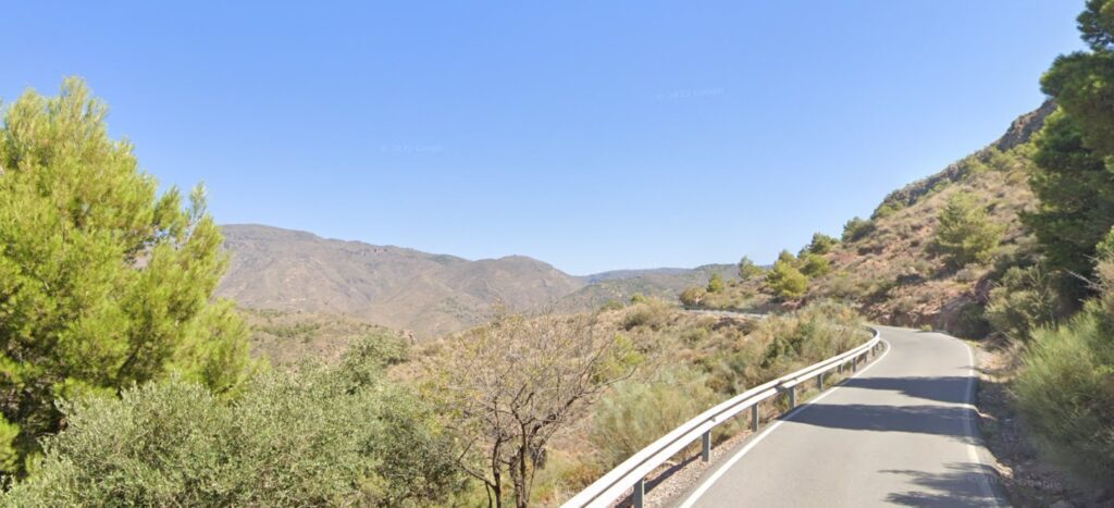
The first major climb begins near Vícar, bypassing the village and heading toward El Marchal, a beautiful ascent crowned by wind turbines. A sweeping descent follows, leading to the second major effort: the steep but rewarding climb to Félix.
The return passes through El Parador, Roquetas, and Las Norias, closing a varied, scenic loop of moderate to high difficulty.
⛰️ Ascensos:
- ⛰️ 1,4 km · 78 m · 5,2 %
- ⛰️ 2,1 km · 63 m · 2,8 %
- ⛰️ 17,6 km · 973 m · 5,4 % (Marchal + Félix)
- ⛰️ 3,8 km · 287 m · 6,6 %
🔑 Claves:
- 🌾 Tramo agrícola: entre Almerimar y La Mojonera.
- 💨 El Marchal: ascenso largo, coronado por eólicos.
- 🏔️ Félix: subida exigente, de las más vistosas de la zona.
- 🧃 Pocos servicios entre Vícar y Roquetas: llevar provisiones.