Última actualización: 2 de July de 2025
🛣️ Distancia: 119 km
⛰️ Desnivel positivo: 2.052 m
🏷️ Zona / Subzona: Playa – Poniente
📥 GPX: Descargar track
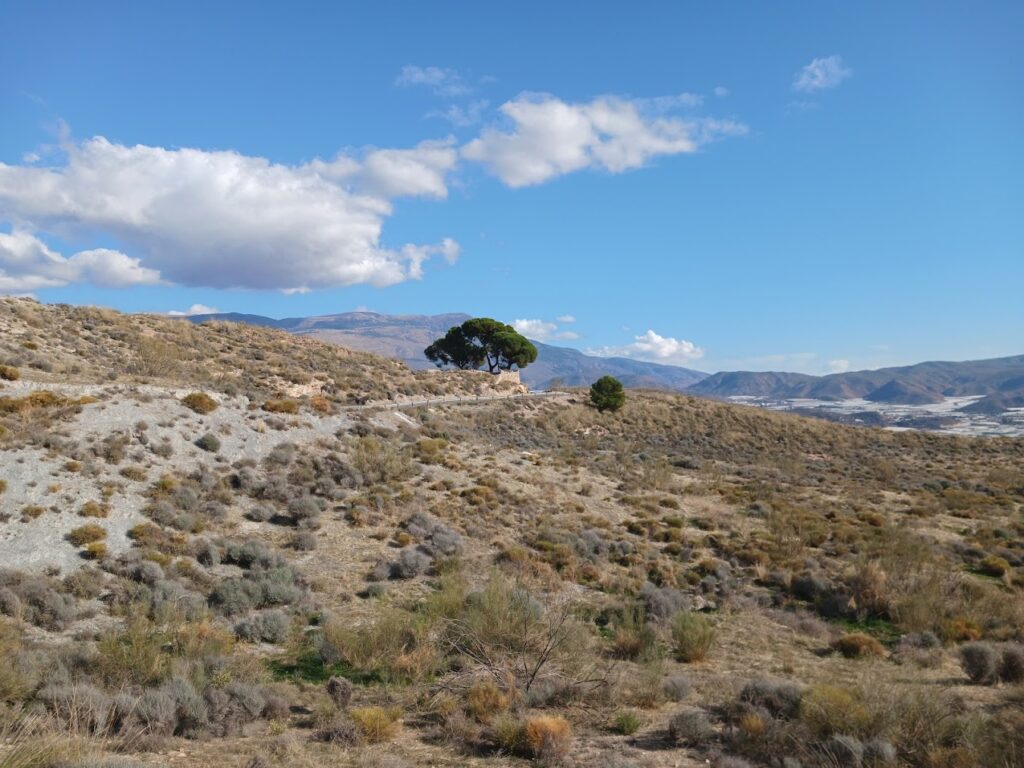
Demanding route starting in Almerimar and soon heading inland via the Río Chico valley, gateway to the first ramps of the Sierra de Gádor. Before Berja, a detour takes you toward the Benínar reservoir, where a triple ascent begins: first the Puerto del Arbolillo, then the climb up to Turón, and finally the segment from the village to the Murtas junction. Together, they form a 31 km uphill block with more than 1,100 m of total gain.
As the terrain shifts from farmland to low mountain scrubland, the road keeps climbing steadily. After a long descent, one more climb awaits—5 km linking Berja to Dalías—before a final downhill stretch back to the coast and Almerimar. A long-distance route made for riders looking to pile on the elevation.
🧗 Ascensos (segmentos principales)
- ⛰️ 2,4 km · 114 m · 4,2 %
- ⛰️ 1,5 km · 64 m · 4,1 %
- 🏔️ Encadenado Arbolillo – Turón – Cruce Murtas: 31 km · 1.167 m · 3,1 %
- ⛰️ 2,1 km · 99 m · 4,5 %
- ⛰️ 1,4 km · 53 m · 3,3 %
- ⛰️ 2,6 km · 107 m · 3,8 %
- 🧱 Berja–Dalías: 5,1 km · 223 m · 4,5 %
👉 Recomendaciones
- 💧 Llenar bidones en Berja o Dalías antes del encadenado largo.
- 🚴♂️ Gestionar esfuerzo: la subida de 31 km no es dura pero es constante.
- ⚠️ Precaución en descensos por posible gravilla en curvas abiertas.