Última actualización: 2 de July de 2025
🏣 Region: Coast
🌍 Sub-region: Poniente
🛣️ Distance: 108.3 km
🏔️ Elevation gain: 1,912 m
📂 Download GPX: GPX File
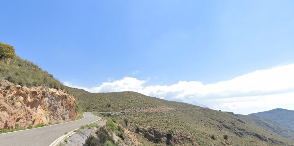
A complete road cycling route connecting the coast with the mid and high mountains of the Sierra de Gádor. Starting from Almerimar, it heads inland through Matagorda and Atajuelos to reach the first key climb: Fuente Nueva (4.3 km at 5.1%), short but with very steep gradients. This is the gateway to a mountainous terrain.
From Dalías, the road climbs steadily through greenhouses and arid landscapes to reach one of the area’s giants: Castala (7.2 km at 6.3%). With solid tarmac and constant gradient, it’s a tough challenge. After a quick descent and short flat, the route continues to Hirmes (6.6 km at 5.6%), a climb with no breaks. The reward is a long and thrilling descent through Río Chico, which brings you back to the coast.
The final part rolls just meters from the Mediterranean, passing through Balanegra and Balerma on your way to Almerimar. Expect a day of scenic variety, quiet roads, and a demanding string of climbs that will test your endurance.
⛰️ Climbs:
- ⛰️ 17.6 km · 654 m · 3.8%
- ⛰️ 4.3 km · 210 m · 5.1%
- ⛰️ 7.2 km · 439 m · 6.3%
- ⛰️ 6.6 km · 349 m · 5.6%
- ⛰️ 1.5 km · 55 m · 3.3%
🔑 Highlights:
- ⚠️ Fuente Nueva: short but steep gradients.
- ⛏️ Castala & Hirmes: demanding climbs, no shade.
- 🌊 Coastal return: open sea views on the way back.
- 💧 Water stops: refill in Dalías or Berja.